NPS Photo
Overview
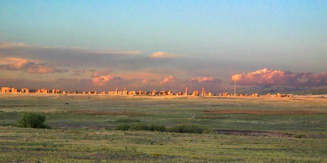
The Fort Union National Monument (FOUN) is located on the western high plains of north central New Mexico and was an important military and civilian site in the development of the southwestern United States. The succession of three remote US Army Forts built at the site between 1851 and 1891 significantly impacted the natural vegetation of the site. Following abandonment, the land reverted to general rangeland use up until the site was donated by the Fort Union Ranch to a local preservation society and then to the National Park Service. Since that time, the park has been exclosed from livestock to protect the cultural resources as well as improve range conditions. The monument is located in a wide valley of the lower Wolf Creek watershed, a tributary of the Mora River. Elevations range from approximately 6,700 to 6,840 ft.The Fort Union National Monument Site Vegetation Inventory Project delivers many geospatial and vegetation data products, including an in-depth project report discussing methods and results, which include descriptions to vegetation associations, field keys to vegetation associations, map classification, and map-class descriptions. The suite of products also includes a database of vegetation plots, and accuracy assessment (AA) sites; digital images of field sites; digital aerial imagery; digital maps; a contingency table listing AA results; and a geodatabase of vegetation, field sites (vegetation plots, and AA sites), aerial imagery, project boundary, and metadata.
Products
The products of vegetation mapping projects are stored and managed in the National Park Service's Data Store, a repository for documents and publications relating to park resources. From the highlighted items below, click on the type of information you are looking for.
Last updated: October 3, 2018
