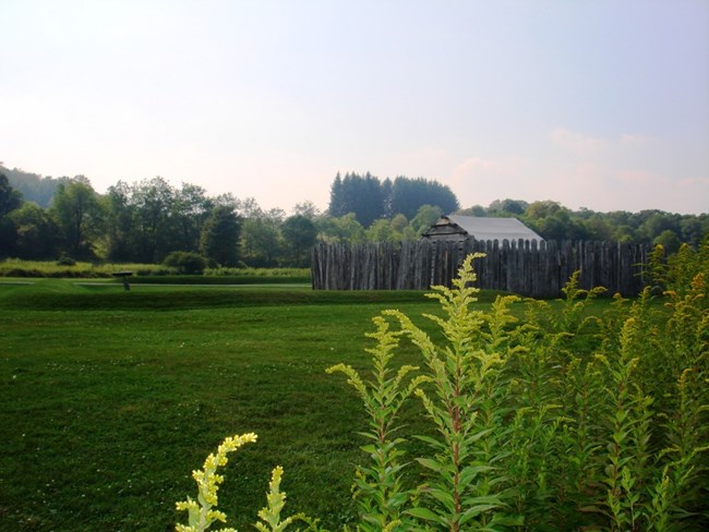
NPS Photo
Overview
Set in the Allegheny Mountains of southwestern Pennsylvania, Fort Necessity National Battlefield along U.S. Route 40, the historic National Road. The park preserves the land on which the opening battle, George Washington’s first major military combat, of the French and Indian War occurred The park is located in Fayette County between the Youghiogheny and the Monongahela rivers. The ridgelines of Laurel Hill and Chestnut Ridge support large contiguous blocks of forest. On the middle and lower slopes of the Allegheny Mountains higher moisture levels and deeper soils create increased diversity of vegetation.The Fort Necessity National Battlefield Site Vegetation Inventory Project delivers many geospatial and vegetation data products, including an in-depth project report discussing methods and results, which include descriptions to vegetation associations, field keys to vegetation associations, map classification, and map-class descriptions. The suite of products also includes a database of vegetation plots, and accuracy assessment (AA) sites; digital images of field sites; digital aerial imagery; digital maps; a contingency table listing AA results; and a geodatabase of vegetation, field sites (vegetation plots, and AA sites), aerial imagery, project boundary, and metadata.
Products
The products of vegetation mapping projects are stored and managed in the National Park Service's Data Store, a repository for documents and publications relating to park resources. From the highlighted items below, click on the type of information you are looking for.
Last updated: October 3, 2018
