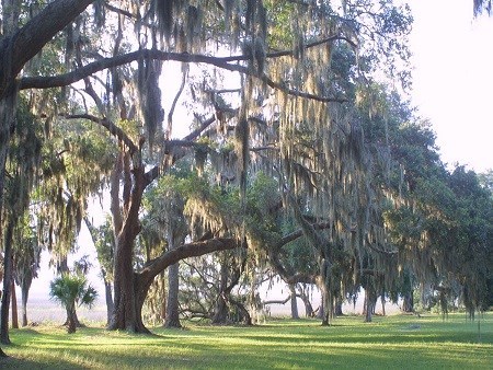
NPS Photo
Overview
Fort Frederica National Monument is on St. Simons Island in southeast Georgia. The Monument is divided by the Frederica River, one of the primary salt marsh rivers in the Brunswick area, with 40 ha of marsh lands at the Frederica site on the west side of the river and approximately 55 ha of uplands adjoining the east side of the river. The focal area of the park is the colonial-era townsite of Fort Frederica, and this area is maintained as a mowed field. Vegetation communities at Fort Federica National Monument can be generally divided into salt marsh and upland areas.The Fort Federica National Monument Vegetation Inventory Project delivers many geospatial and vegetation data products, including an in-depth project report discussing methods and results, which include descriptions to vegetation associations, field keys to vegetation associations, map classification, and map-class descriptions. The suite of products also includes a database of vegetation plots, and accuracy assessment (AA) sites; digital images of field sites; digital aerial imagery; digital maps; a contingency table listing AA results; and a geodatabase of vegetation, field sites (vegetation plots, and AA sites), aerial imagery, project boundary, and metadata.
Products
The products of vegetation mapping projects are stored and managed in the National Park Service's Data Store, a repository for documents and publications relating to park resources. From the highlighted items below, click on the type of information you are looking for.
Last updated: October 2, 2018
