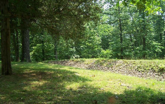
NPS Photo
Overview
Land within Fort Donelson National Battlefield shows that the known vascular flora consist of 645 species representing 356 genera and 104 families. About 23 percent of the flora is not indigenous and several of these introduced species are threats to the native vegetation. Although the Cumberland River Valley began to be settled in the later part of the 18th century, most of the region remained unaltered and unexplored during the late 1700s. With continual expansion and settlement around the turn of the century, land use began to change. Land was cleared for homes, farms and roads. Hardwood trees were harvested for lumber and firewood for families, ironwork foundries and other industries.The Fort Donelson National Battlefield Vegetation Inventory Project delivers many geospatial and vegetation data products, including an in-depth project report discussing methods and results, which include descriptions to vegetation associations, field keys to vegetation associations, map classification, and map-class descriptions. The suite of products also includes a database of vegetation plots, and accuracy assessment (AA) sites; digital images of field sites; digital aerial imagery; digital maps; a contingency table listing AA results; and a geodatabase of vegetation, field sites (vegetation plots, and AA sites), aerial imagery, project boundary, and metadata.
Products
The products of vegetation mapping projects are stored and managed in the National Park Service's Data Store, a repository for documents and publications relating to park resources. From the highlighted items below, click on the type of information you are looking for.
Last updated: September 27, 2018
