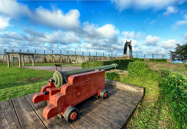
NPS Photo / Rick Rasmussen
Overview
Fort Caroline National Memorial covers roughly 60 hectares, along the St. Johns River northeast of Jacksonville about seven river miles from the mouth of the river. Fort Caroline National Memorial has a long history and is the site of one of the earliest North American settlements and memorializes the short-lived French presence in the sixteenth century. It is now part of the Timucuan Ecological and Historic Preserve, where cultural and natural resources connect.The Fort Caroline National Monument Vegetation Inventory Project delivers many geospatial and vegetation data products, including an in-depth project report discussing methods and results, which include descriptions to vegetation associations, field keys to vegetation associations, map classification, and map-class descriptions. The suite of products also includes a database of vegetation plots, and accuracy assessment (AA) sites; digital images of field sites; digital aerial imagery; digital maps; a contingency table listing AA results; and a geodatabase of vegetation, field sites (vegetation plots, and AA sites), aerial imagery, project boundary, and metadata.
Products
The products of vegetation mapping projects are stored and managed in the National Park Service's Data Store, a repository for documents and publications relating to park resources. From the highlighted items below, click on the type of information you are looking for.
Last updated: January 27, 2020
