NPS Photo
Overview
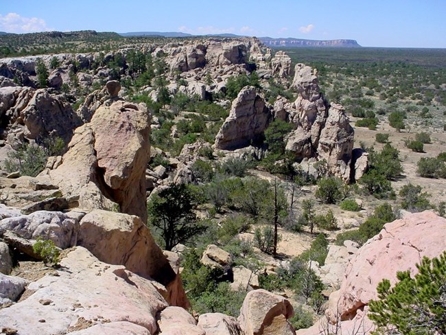
El Malpais National Monument is home to a wide array of plants. Short-grass prairies along the margins of lava flows and in lower elevations feature native bunchgrass, shrub, and wildflower communities. Pinon-juniper forest dominates hillslopes, and ponderosa pine, Douglas fir, and other conifer species appear at higher elevations or where extra moisture pools on rugged lava flows.The El Malpais National Monument Vegetation Inventory Project delivers many geospatial and vegetation data products, including an in-depth project report discussing methods and results, which include descriptions to vegetation associations, field keys to vegetation associations, map classification, and map-class descriptions. The suite of products also includes a database of vegetation plots, and accuracy assessment (AA) sites; digital images of field sites; digital aerial imagery; digital maps; a contingency table listing AA results; and a geodatabase of vegetation, field sites (vegetation plots, and AA sites), aerial imagery, project boundary, and metadata.
Products
The products of vegetation mapping projects are stored and managed in the National Park Service's Data Store, a repository for documents and publications relating to park resources. From the highlighted items below, click on the type of information you are looking for.
Last updated: September 26, 2018
