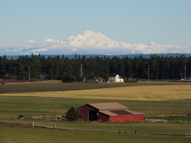
NPS Photo
Overview
The Ebey's Landing National Historical Reserve was established in 1978 “in order to preserve and protect a rural community which provides an unbroken historical record from nineteenth century exploration and settlement in Puget Sound to the present time.” The Reserve encompasses three state parks, the town of Coupeville, historic homes and farmsteads as well as diverse plant communities and habitats including remnant prairies, steep coastal bluffs, and forests found only within the dry Olympic rain shadow zone of Washington State.The Ebey's Landing National Historical Reserve Vegetation Inventory Project delivers many geospatial and vegetation data products, including an in-depth project report discussing methods and results, which include descriptions to vegetation associations, field keys to vegetation associations, map classification, and map-class descriptions. The suite of products also includes a database of vegetation plots, and accuracy assessment (AA) sites; digital images of field sites; digital aerial imagery; digital maps; a contingency table listing AA results; and a geodatabase of vegetation, field sites (vegetation plots, and AA sites), aerial imagery, project boundary, and metadata.
Products
The products of vegetation mapping projects are stored and managed in the National Park Service's Data Store, a repository for documents and publications relating to park resources. From the highlighted items below, click on the type of information you are looking for.
Last updated: September 25, 2018
