NPS Photo
Overview
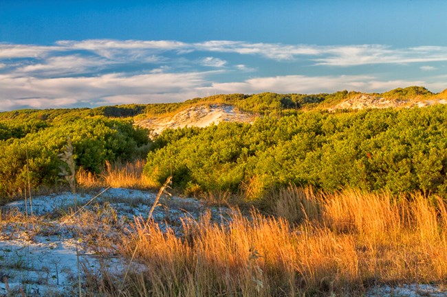
Cumberland Island is the largest and southernmost barrier island in Georgia. With little commercial development, Cumberland has remained relatively stable over the last several hundred years. Vegetation communities across Cumberland Island are extremely diverse. A smooth cordgrass dominated salt marsh occupies about 3,650 hectares of the estuary-side of Cumberland Island, providing habitat for a diverse assemblage of fish and wildlife species. The southern end of the island includes an extensive example of an intact salt panne community type. Much of the upland portion of Cumberland Island consists of live oak maritime forests. Other terrestrial communities include extensive dune systems, interdunal wetlands, freshwater ponds and wetlands, mixed-pine/hardwood forests, and pine-dominated.The Cumberland Island National Seashore Vegetation Inventory Project delivers many geospatial and vegetation data products, including an in-depth project report discussing methods and results, which include descriptions to vegetation associations, field keys to vegetation associations, map classification, and map-class descriptions. The suite of products also includes a database of vegetation plots, and accuracy assessment (AA) sites; digital images of field sites; digital aerial imagery; digital maps; a contingency table listing AA results; and a geodatabase of vegetation, field sites (vegetation plots, and AA sites), aerial imagery, project boundary, and metadata.
Products
The products of vegetation mapping projects are stored and managed in the National Park Service's Data Store, a repository for documents and publications relating to park resources. From the highlighted items below, click on the type of information you are looking for.
Last updated: November 14, 2018
