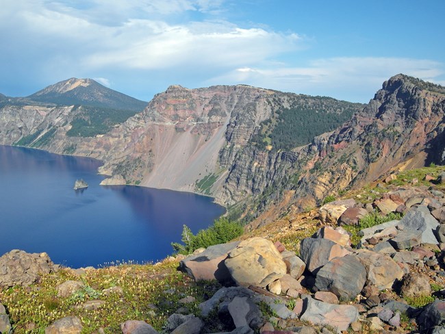
NPS Photo
Overview
Crater Lake National Park was established in 1902 and encompasses 73,775 ha. The park is known for its scenic and renowned resource, Crater Lake. Generally, the vegetation of Crater Lake National Park reflects a mosaic of densely forested and open nonforested areas typical of mainly-unaltered natural areas of the Southern Cascades. Much of the park is heavily forested, but there are also a variety of wetlands, montane grasslands, and extensive pumice-covered flats that are sparsely vegetated by numerous herb and grass species.The Crater Lake National Park Vegetation Inventory Project delivers many geospatial and vegetation data products, including an in-depth project report discussing methods and results, which include descriptions to vegetation associations, field keys to vegetation associations, map classification, and map-class descriptions. The suite of products also includes a database of vegetation plots, and accuracy assessment (AA) sites; digital images of field sites; digital aerial imagery; digital maps; a contingency table listing AA results; and a geodatabase of vegetation, field sites (vegetation plots, and AA sites), aerial imagery, project boundary, and metadata.
Products
The products of vegetation mapping projects are stored and managed in the National Park Service's Data Store, a repository for documents and publications relating to park resources. From the highlighted items below, click on the type of information you are looking for.
Last updated: September 19, 2018
