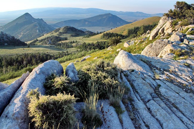
NPS Photo \ Wallace Keck
Overview
Situated in the northern Basin and Range province, the City Of Rocks National Reserve is a crossroads for many habitats, such as pinyon-juniper woodlands, aspen-riparian communities, sagebrush steppe, mountain mahogany woodlands and high elevation meadows. An extraordinary encirclement of granite rising out of the gently rolling sagebrush country in south-central Idaho, has a large degree of biological diversity concentrated in a relatively small area.The City Of Rocks National Reserve Vegetation Inventory Project delivers many geospatial and vegetation data products, including an in-depth project report discussing methods and results, which include descriptions to vegetation associations, field keys to vegetation associations, map classification, and map-class descriptions. The suite of products also includes a database of vegetation plots, and accuracy assessment (AA) sites; digital images of field sites; digital aerial imagery; digital maps; a contingency table listing AA results; and a geodatabase of vegetation, field sites (vegetation plots, and AA sites), aerial imagery, project boundary, and metadata.
Products
The products of vegetation mapping projects are stored and managed in the National Park Service's Data Store, a repository for documents and publications relating to park resources. From the highlighted items below, click on the type of information you are looking for.
Last updated: September 18, 2018
