NPS Photo
Overview
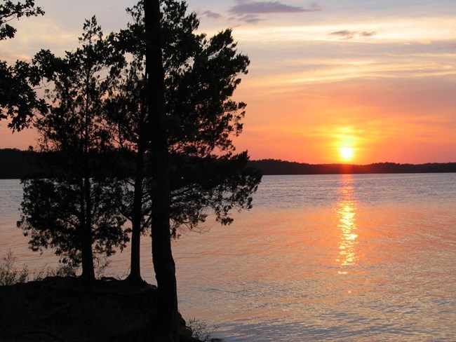
Chickasaw National Recreation Area lies in a transition zone where the Eastern deciduous forest and the Western prairies meet. It has flora and fauna from both environments, and other flora and fauna specific to such transition areas. The view over Veterans Lake, especially beautiful at sunset, illustrates this transition. Chickasaw National Recreation Area represents the eastern most extent of the eastern deciduous forests and mixes with the western prairie ecosytems. The vegetation is a complex mix of oaks and other deciduous trees occurring along the drainages and some upland areas.The Chickasaw National Recreation Area Vegetation Inventory Project delivers many geospatial and vegetation data products, including an in-depth project report discussing methods and results, which include descriptions to vegetation associations, field keys to vegetation associations, map classification, and map-class descriptions. The suite of products also includes a database of vegetation plots, and accuracy assessment (AA) sites; digital images of field sites; digital aerial imagery; digital maps; a contingency table listing AA results; and a geodatabase of vegetation, field sites (vegetation plots, and AA sites), aerial imagery, project boundary, and metadata.
Products
The products of vegetation mapping projects are stored and managed in the National Park Service's Data Store, a repository for documents and publications relating to park resources. From the highlighted items below, click on the type of information you are looking for.
Last updated: September 13, 2018
