NPS Photo
Overview
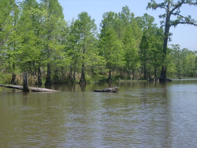
The Big Thicket National Preserve's diverse plant communities are a result of the vast range of soil types and elevations. Big Thicket National Preserve lies in a large area in southeast Texas where the Piney Woods meet the coastal prairie. The overlap of ecosystems and ecological influences here enables a large diversity of species to coexist within a relatively small area. There are few places where you can walk through a beech-magnolia-loblolly pine woodland and then see roadrunners darting between longleaf pines and cactus. Each plant community, or ecosystem, is defined by certain dominant species of trees and/or shrubs.The Big Thicket National Preserve Vegetation Inventory Project delivers many geospatial and vegetation data products, including an in-depth project report discussing methods and results, which include descriptions to vegetation associations, field keys to vegetation associations, map classification, and map-class descriptions. The suite of products also includes a database of vegetation plots, and accuracy assessment (AA) sites; digital images of field sites; digital aerial imagery; digital maps; a contingency table listing AA results; and a geodatabase of vegetation, field sites (vegetation plots, and AA sites), aerial imagery, project boundary, and metadata.
Products
The products of vegetation mapping projects are stored and managed in the National Park Service's Data Store, a repository for documents and publications relating to park resources. From the highlighted items below, click on the type of information you are looking for.
Last updated: September 13, 2023
