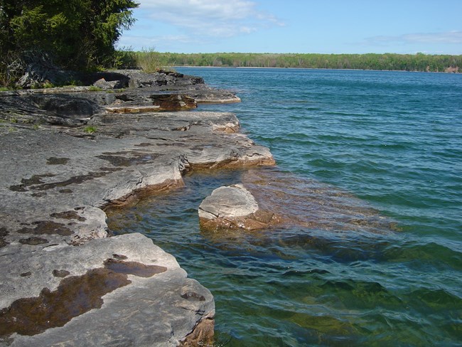
NPS Photo
Overview
Apostle Islands National Lakeshore, located between boreal and temperate forests, hosts regionally diverse and unique plant communities. The islands and their forests comprise an ecosystem that is unique in North America.
Photointerpreters, ecologists, and botanists collaborated to identify and describe vegetation types within the National Vegetation Classification Standard and to determine how best to map them by using aerial photographs. The team collected 153 vegetation sampling plots within the Apostle Islands National Lakeshore project. Data from 687 accuracy assessment sites were collected, of which 673 were used to test the accuracy of the vegetation map layer. These data sets led to the identification of 48 vegetation associations at the lakeshore.
Products
The products of vegetation mapping projects are stored and managed in the National Park Service's Data Store, a repository for documents and publications relating to park resources. From the highlighted items below, click on the type of information you are looking for.
Last updated: September 20, 2018
