NPS Photo
Overview
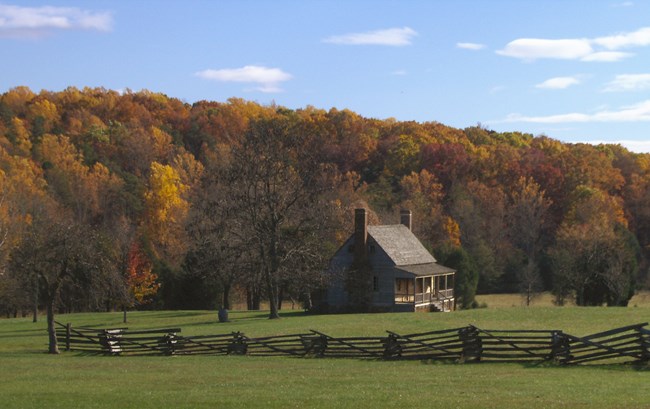
Twelve distinct plant communities comprise the 1,100 acres of forest in Appomattox Court House National Historical Park. These plant communities include mature upland oak and hickory forests, young successional forests of Virginia pine and yellow popular, riparian forests along the Appomattox River, and unique wetlands. Most of the forests in the park are less than 50 years old, but several mature oak stands probably date back to 1865. Over 590 acres of open lands are maintained in the park to reflect the historic agrarian landscape of 1865, with most of the non-forested land leased for agriculture.This projects documents the classification and mapping of vegetation at Appomattox Court House National Historical Park. Twenty map classes were used to map the 705 ha (1,743 ac) park. Vegetation map classes were determined through extensive field reconnaissance, data collection, and analysis. Leaf-off aerial photography from 2000 served as the base map and field sampling was conducted from 2002–2004. Spatial data was digitized onscreen over digital orthophoto mosaics created from scanned color infrared, stereo pair 1:6,000 scale aerial photography using a 0.5 hectare minimum mapping unit.
Products
The products of vegetation mapping projects are stored and managed in the National Park Service's Data Store, a repository for documents and publications relating to park resources. From the highlighted items below, click on the type of information you are looking for.
Last updated: October 16, 2018
