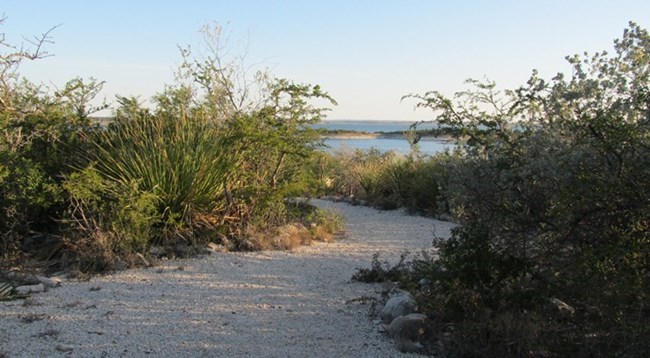
NPS Photo
Overview
Amistad National Recreation Area's flora contains elements from three major plant communities.This diversity is a result of the park's location in a transition zone between major life and climate zones: it lies between three major plant communities: Tamaulipan Shrubland, Chihuahuan Desert, and Edwards Plateau; two major climate zones: in the transition between temperate and tropics; and in the transition zone from dry arid zones in the western half of the US to the more humid and wet eastern half of the US. This mix of habitats is combined with a huge expanse of the clear, clean waters of Amistad Reservoir.The Amistad National Recreation Area Vegetation Inventory Project delivers many geospatial and vegetation data products, including an in-depth project report discussing methods and results, which include descriptions to vegetation associations, field keys to vegetation associations, map classification, and map-class descriptions. The suite of products also includes a database of vegetation plots, and accuracy assessment (AA) sites; digital images of field sites; digital aerial imagery; digital maps; a contingency table listing AA results; and a geodatabase of vegetation, field sites (vegetation plots, and AA sites), aerial imagery, project boundary, and metadata.
Products
The products of vegetation mapping projects are stored and managed in the National Park Service's Data Store, a repository for documents and publications relating to park resources. From the highlighted items below, click on the type of information you are looking for.
Last updated: February 25, 2020
