NPS Photo
Environmental Setting
Whitman Mission National Historic Site is located in the Walla Walla Basin, which straddles a portion of southern Washington and northern Oregon. The bedrock of the Walla Walla Basin is composed of layered flows of Columbia River Basalt of the Miocene and Pliocene ages and is over 3,000 feet thick. The uppermost layer of basalt at Whitman Mission is approximately 524 feet below the surface. Above this are layers of clay and gravel, probably of Pleistocene age. Overlying the old gravel is a mantle of Pleistocene silty and clayey loess known as the Palouse Formation.
The soils at Whitman Mission vary and include gravel, organic soil, silt loam, loess, hard pan, and clay. The water table ranges from one to four feet deep through most of the lower elevations of the site.
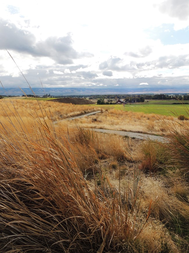
Elevation within the park is essentially level except for one hill that rises over 100 feet above the surrounding area. Elevations range from 615 feet above sea level to 724 feet at the top of the hill.
Generally, wind conditions maintain clear visibility in the area. Notable exceptions to clear visibility occur in the spring and fall during agricultural operations. There is dust from plowing and planting, and smoke from the burning of agricultural fields.
Key Resources and Issues
Whitman Mission National Historic Site preserves the historic mission and interprets the interaction between the Whitmans and the Cayuse Indian people. The mission was an important way station along the Oregon Trail. The site management objectives include protecting and preserving the archeological and historical resources of the mission, the cultural landscape, and preserving the natural resources of the site. Natural resource preservation focuses on the grassland community and on riparian vegetation.
The main natural resource issue is invasive plants, in both the grassland areas and in riparian areas. Invasive weed species are an ongoing struggle, as the surrounding agricultural landscape is a source of weed species spread. For water resources, the main concerns are invasive riparian plant species and water quality. Water withdrawals for irrigation affect the two creeks that flow through the historic site, especially during the summer months, and contribute to high water temperatures, low levels of dissolved oxygen, and elevated levels of fecal coliform bacteria.
Publications and Other Information
Inventory Reports
Source: NPS DataStore Collection 4404 (results presented are a subset). To search for additional information, visit the NPS DataStore.
Monitoring Reports
Source: NPS DataStore Saved Search 714 (results presented are a subset). To search for additional information, visit the NPS DataStore.
Source: NPS DataStore Saved Search 720 (results presented are a subset). To search for additional information, visit the NPS DataStore.
Quick Reads
Source: NPS DataStore Collection 4405 (results presented are a subset). To search for additional information, visit the NPS DataStore.
Last updated: August 29, 2018
