Parks
The Southern Colorado Plateau Network comprises 19 parks renowned for their stunning cultural and natural resources.
Parks By State
-
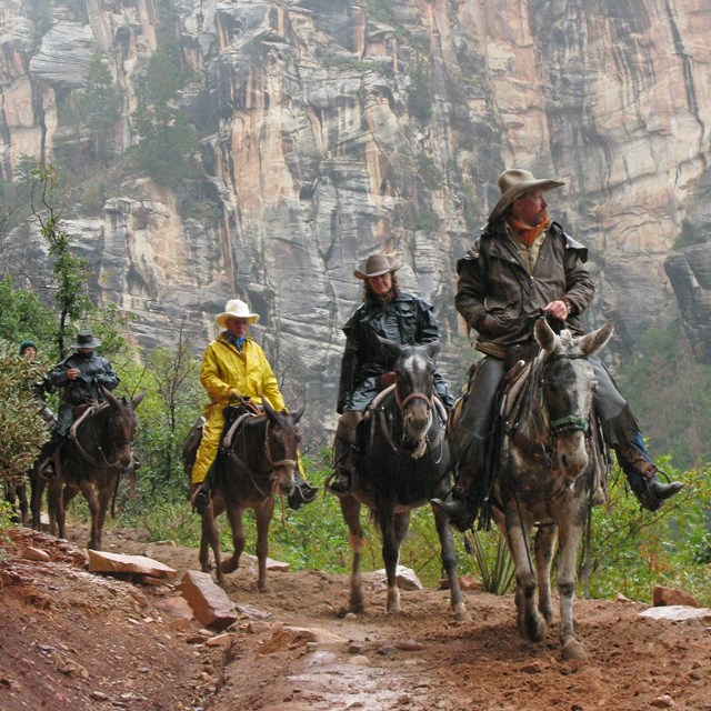 Arizona
The Southern Colorado Plateau Network works with nine parks in Arizona.
-
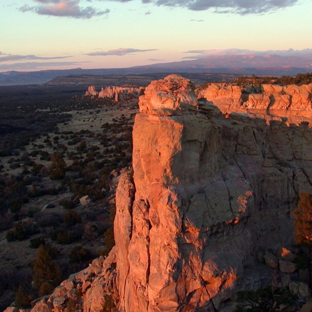
 Colorado & Utah
The Southern Colorado Plateau Network works with four parks in Colorado and Utah.
-
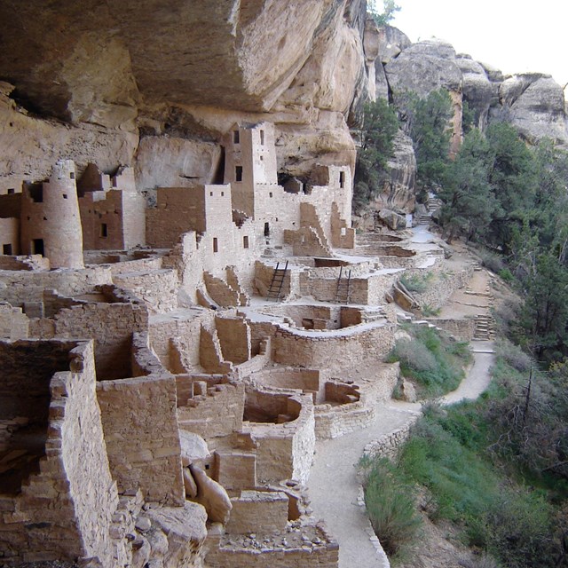
 New Mexico
The Southern Colorado Plateau Network works with seven parks in New Mexico.
Partners
The Southern Colorado Plateau Network has had a long-standing partnership with Northern Arizona University. This relationship nurtures rich collaborations with many university departments, including Environmental Sciences, Biological Sciences, Geology, Forestry, and the School of Communication. These collaborations take many forms:
- NAU faculty and graduate students contribute their expertise and graduate work to natural resource inventory and monitoring projects across network parks.
- NAU students, graduate students and recent graduates receive valuable training and experience as field crew employees for Southern Colorado Plateau Network monitoring projects, working with network ecologists on data analysis projects, working with the network and network parks on science communication projects.
- Southern Colorado Plateau Network scientists work with NAU faculty on natural resource projects.
USGS scientists from the Southwest Biological Sciences Center, the Fort Collins Science Center, and the Water Resources Division support the Southern Colorado Plateau Network's efforts to apply sound science to resource management.
- The Southern Colorado Plateau Network and USGS teamed up to model soil water availability under projected climate conditions in 13 ecosystems in 9 network parks where long term vegetation monitoring is underway. A web article and 13 project briefs will soon be available for this project.
- USGS wildlife biologists conducted vertebrate inventories for many Southern Colorado Plateau Network parks.
- USGS ecologists completed several vegetation mapping projects and contributed to the development of upland, aquatic macroinvertebrate, and riparian monitoring protocols.
One of 17 Cooperative Ecosystem Study Units across the country, the CPCESU links federal agencies with universities and other institutions to facilitate exchange of resources, expertise and technical assistance in support of management and stewardship of the Colorado Plateau’s natural and cultural resources.
With overlapping goals and geographic focus, the CPCESU and the network link southern Colorado Plateau parks with the broader scientific community:
With overlapping goals and geographic focus, the CPCESU and the network link southern Colorado Plateau parks with the broader scientific community:
- Employing collaborative approaches to bringing sound science and scholarship to bear on resource management for NPS units.
- Working locally with individual parks, as well as on broader regional resource issues.
- Interacting with a diverse range of academic partners, including students and graduates interested in federal land management careers.
- Promoting connectivity within and among parks, between NPS and academic institutions and across the larger conservation landscape.
PhenoCam is a web camera network that records ecosystem phenology. With more than 400 cameras installed across North America and Hawaii, PhenoCam functions as a continental-scale phenological observatory. Cameras upload imagery to the PhenoCam server every ½ hour. This information is available to the public from the PhenoCam website. The Southern Colorado Plateau Network has installed a phenocam as part of this project in the pinyon-juniper habitat in Grand Canyon National Park.
The Climate Analyzer creates custom graphs and tables from historical weather station and other data. These are calculated dynamically. Data sources include the National Weather Service, the Natural Resources Conservation Service, and the U.S. Geological Survey. The Climate Analyzer has compiled a page specifically for the Southern Colorado Plateau Network that provides a user friendly interface for real-time and historical weather, snowcover, and streamflow data for each of the 19 parks in the network.
A program of the Desert Research Center, WRCC is one of six Regional Climate Centers in the US.
- Serves as a focal point for coordination of applied climate activities in the West – working with NOAA and other federal partners.
-
Acts as a repository of historical climate data and information.
- Conducts applied research on climate issues affecting the West.
Last updated: September 23, 2022