NPS
Overview
The Northern Colorado Plateau Network uses information provided by the National Park Service Air Resources Division to provide occasional updates on air quality in network parks. Both the Clean Air Act and the National Park Service Organic Act protect air resources in national parks. Air quality affects park scenery and vistas, vegetation, water, and wildlife. Six Northern Colorado Plateau Network national parks are designated as Class I areas under the Clean Air Act: Arches, Black Canyon of the Gunnison, Bryce Canyon, Canyonlands, Capitol Reef, and Zion. Air quality standards are stricter in these parks than in other network parks.
Because air quality conditions occur over broad spatial scales, park managers have little direct control over the atmospheric conditions of the parks they manage. However, knowing about the state of—and changes in—air quality can help park managers to make planning decisions, influence off-site emitters of pollutants, and indirectly stabilize or improve park air resources. It can also help the Northern Colorado Plateau Network to understand changes in other vital signs.

Information on air quality at Northern Colorado Plateau Network parks can be found by visiting the National Park Service's Air page, which displays spatial and temporal trends in ozone, nitrogen deposition, sulfur deposition, and visibility-reducing pollutants in all units of the National Park System.
Ozone, sulfur dioxide, dry deposition, and meteorology are collected by the Clean Air Status and Trends (CASTNet) and Gaseous Pollutant Monitoring (GPMN) networks. Ozone is also monitored with passive samplers and portable continuous analyzers. Wet Deposition is monitored through cooperation with National Atmospheric Deposition Program/National Trends Network (NADP/NTN). The Mercury Deposition Network (MDN), part of NADP, collects precipitation samples that are analyzed for mercury. Visibility is monitored as part of the Interagency Monitoring of Protected Visual Environments (IMPROVE).
Vital Signs: Ozone, visibility and particulate matter, wet and dry deposition
Protocol Lead: Dusty Perkins
Air Quality-Related Values
An air quality-related value (AQRV) is a resource that may be adversely affected by a change in air quality. AQRVs include visibility and specific scenic, cultural, physical, biological, ecological, or recreational resources. Research has identified certain AQRVs as sensitive, such as lakes with low acid-buffering capacity and plant species that display injury symptoms at ambient ozone concentrations.
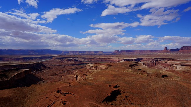
Visibility is a sensitive AQRV affected by air pollution to some degree in every unit of the National Park System. Air pollution affects how far we can see vistas and landscape features, and how well we can see them. Air pollution and light pollution also affect the dark night sky resource, an integral component of visibility.
Vegetation may be sensitive to a variety of air pollutants, including nitrogen, sulfur, and ozone. Nitrogen and sulfur may affect plant growth and species composition. Ozone may cause leaf injury and growth and reproduction effects. Ozone-sensitive plant species have been identified in many parks and are listed in risk assessments that have been conducted to evaluate the risk to vegetation from ozone at park units.
Surface waters and soils are susceptible to acidification, unnatural enrichment, or eutrophication from atmospheric deposition of hydrogen ions, nitrogen and/or sulfur. Water and soils that have evolved under low nutrient conditions, or those with low buffering capacity, are particularly vulnerable. Fish and wildlife are all potentially sensitive to air pollutants, including airborne toxics like mercury and dioxins.
Air pollutants may have a direct effect to fish and wildlife (e.g., mercury neurotoxicity) or an indirect effect to their habitat (e.g., stream acidification).
| Park | Visibility | Vegetation | Surface Waters | Soils | Fish & Wildlife |
| Arches NP | X | X | Unk | Unk | X |
| Black Canyon of the Gunnison NP | X | X | X | X | X |
| Bryce Canyon NP | X | X | Unk | Unk | X |
| Canyonlands NP | X | X | Unk | Unk | X |
| Capitol Reef NP | X | X | Unk | Unk | X |
| Cedar Breaks NM | X | X | Unk | Unk | X |
| Colorado NM | X | X | Unk | Unk | X |
| Curecanti NRA | X | X | X | X | X |
| Dinosaur NM | X | X | Unk | Unk | X |
| Fossil Butte NM | X | X | Unk | Unk | X |
| Golden Spike NHP | X | X | Unk | Unk | X |
| Hovenweep NM | X | X | Unk | Unk | X |
| Natural Bridges NM | X | X | Unk | Unk | X |
| Pipe Spring NM | X | X | Unk | Unk | X |
| Timpanogos Cave NM | X | X | Unk | Unk | X |
| Zion NP | X | X | Unk | Unk | X |
Air Quality Webcams
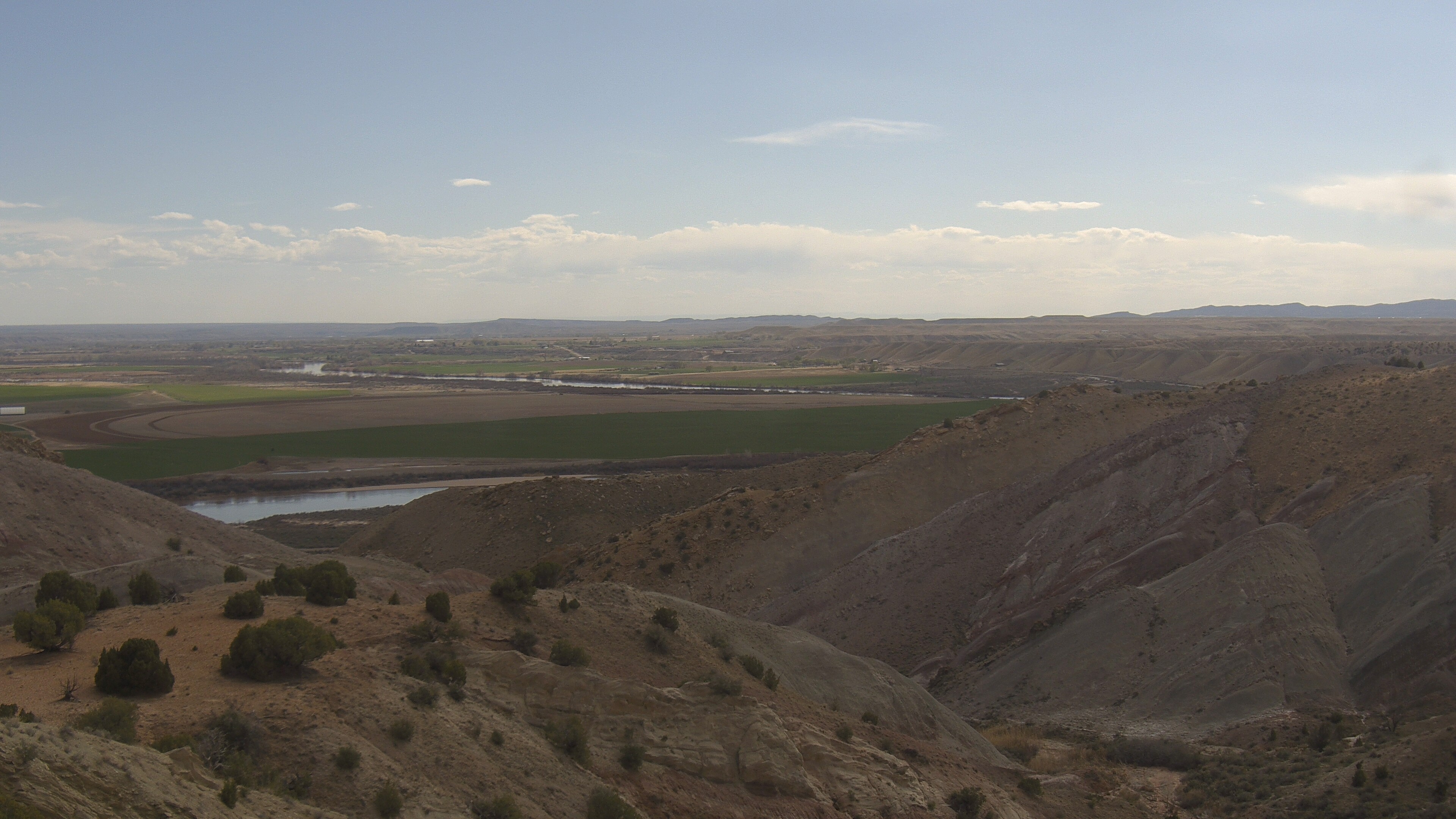
Air Quality Webcam
View from Yovimpa Point, Bryce Canyon National Park, Utah (looking east).
View WebcamPublications and Other Information
Source: NPS DataStore Saved Search 470. To search for additional information, visit the NPS DataStore.
Source: NPS DataStore Saved Search 448. To search for additional information, visit the NPS DataStore.
Source: NPS DataStore Collection 2541. To search for additional information, visit the NPS DataStore.
Last updated: August 21, 2025


