


Last updated: January 15, 2026

Missoula Floods Animation
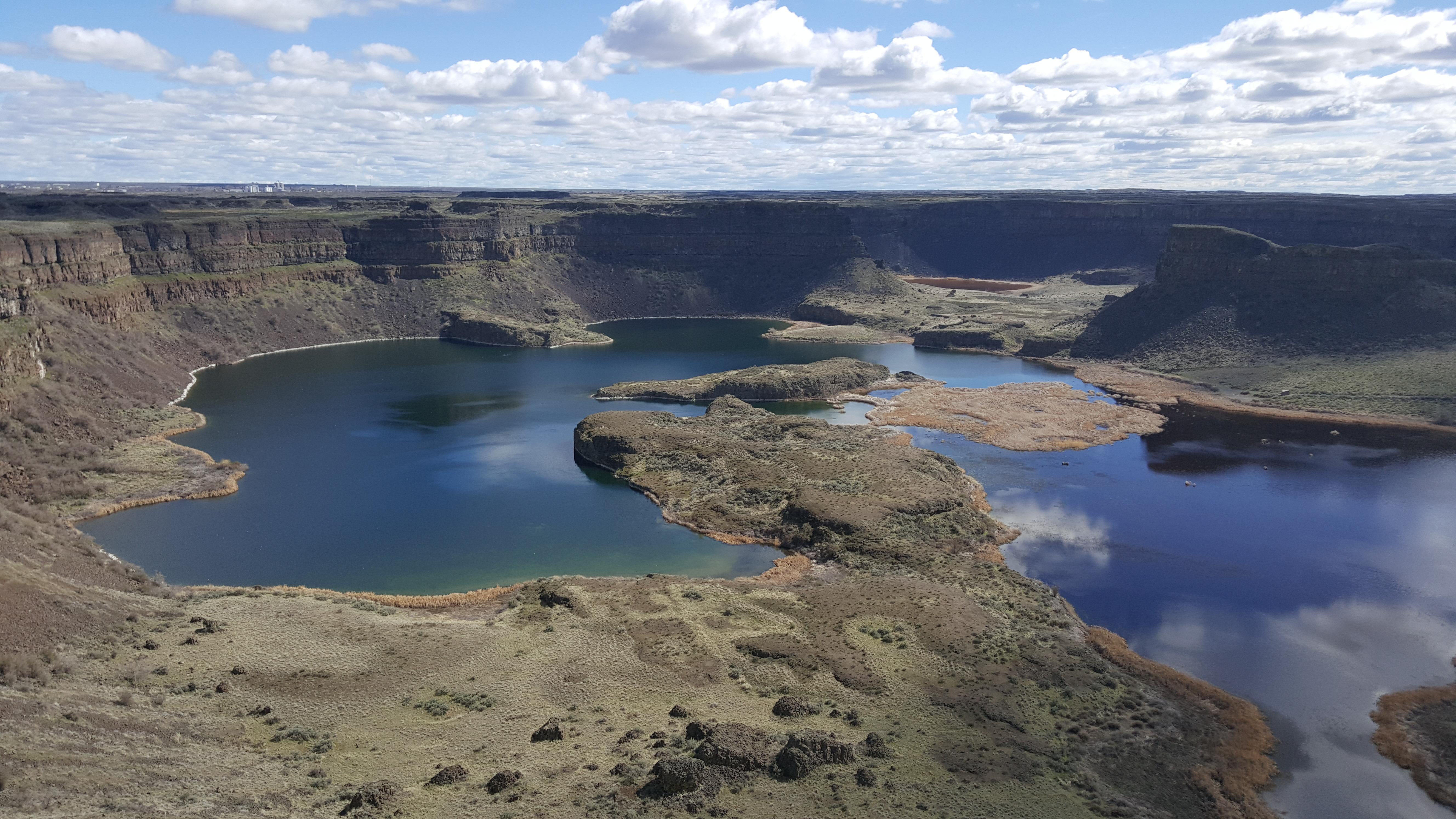
Explore the complex sequence of events through Ice Age Floods animation.

Learn about the Trail
Learn the story of the Missoula Floods.

Places To Go
Explore Ice Age Floods National Geologic Trail and the 4 states which the Missoula Floods flowed through.