
Kūpuna Talk Story
Learn from the wisdom of local kūpuna (elders). 
Sacred Landscapes
Witness one of the world’s most powerful landscapes that shaped a rich history in Hawai'i. 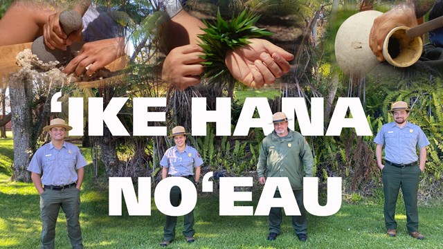
Experience the Skillful Work
Watch this video series for a hands-on experience in revitalizing Hawaiian traditions. 
A Walk Through Time
Watch this video series to learn about the events that shaped the park both before and after it became a national park. 
Exploring Volcanoes
Explore the power and science of volcanoes in this video series 
Wild: From Mountain to Sea
Hawai'i is home to some of the most unique and diverse natural resources in the world. Learn more in this video series. |
Last updated: March 31, 2025