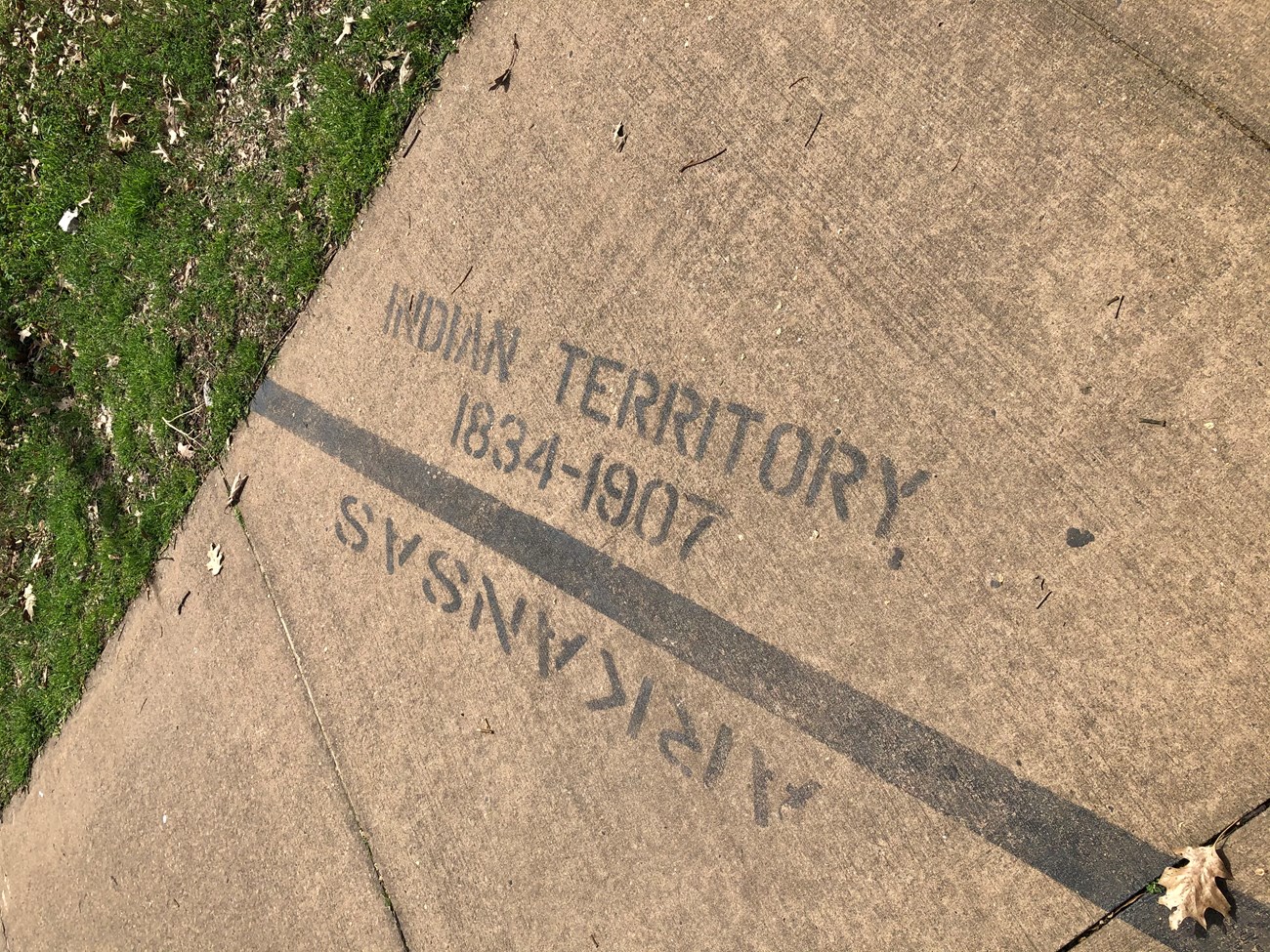
Boundary Line with Indian Territory
Imagine standing here in 1825, to the east would have been Arkansas Territory, and to the west, a vast domain traded to the Choctaw Nation for their ancestral lands in the east. Fort Smith’s location here at the edge of Indian Country was a major factor in its evolution and vitality. The history of the fort and of the town growing up around it was shaped by the forced removal of eastern tribes to Indian Country, the booming border trade in contraband goods, white settlers’ relentless push for land, and the military’s efforts to maintain order. The Choctaw lands remained part of Indian Country until 1907 when Oklahoma became a state.

