|
You are viewing ARCHIVED content published online before January 20, 2025.
Please note that this content is NOT UPDATED, and links may not work. For current information,
visit https://www.nps.gov/aboutus/news/index.htm.
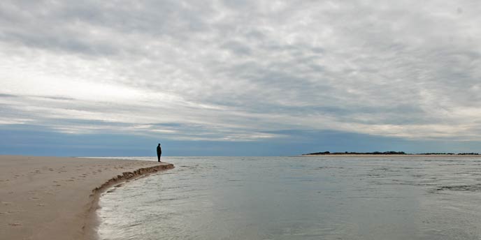
NPS Photo
Contact: Patricia Rafferty Contact: Elizabeth Rogers, 631-687-4766 Patchogue, New York –On Tuesday, September 8 Fire Island National Seashore Superintendent Chris Soller announced the National Park Service (NPS) is preparing a Breach Management Plan and Environmental Impact Statement (Plan/EIS) for the breach that opened in the Otis Pike Fire Island High Dune Wilderness Area during Hurricane Sandy. Public comments will be accepted through October 8, 2015 on the NPS Planning Environment and Public Comment (PEPC) website and by mail. The purpose of the Plan/EIS is to determine how best to manage the breach that was created in Fire Island's federally-designated wilderness area. The planning process will include opportunities for public input as well as consultation with federal, state, and local agencies with a regulatory interest or special expertise related to proposed actions. The NPS has contracted with EA Engineering, Science, and Technology, Inc. to support the Plan/EIS process. As the NPS undertakes the Plan/EIS there are currently no plans to close the breach. "The potential benefits and consequences of all possible alternatives must be thoroughly evaluated before a decision whether or not to close the breach can be made" stated Soller.A Draft Breach Plan/EIS, analyzing a range of alternatives for managing the breach will be published after careful consideration of each proposed alternative. The NPS preferred alternative will be presented at that time. The desired outcome of the Plan/ EIS is to ensure the continued integrity of the natural and cultural features of the Seashore and its surrounding ecosystems while protecting human life and managing the risk of economic and physical damage to surrounding areas. A newsletter summarizing potential management options is available and public comments may be submitted electronically on the PEPC website at https://parkplanning.nps.gov/FireIslandBreachManagementPlan. Comments may also be submitted by mail to: Hurricane Sandy resulted in three breaches in the barrier island system off of Long Island's south shore. Two were filled mechanically shortly after the storm. But the breach that occurred in the Otis Pike Fire Island High Dune Wilderness –a federal designation that calls for the preservation of natural conditions –remains open as per a multiagency breach contingency plan. Since the storm, the NPS has worked with partners to monitor the breach. The breach has been relatively stable but not static. Its western shoreline has migrated and, as of July 1, 2015, the width of the breach along the ocean is 2,581 feet and 813 feet along the Great South Bay. Information collected in the bay indicates that the height of high tide has not changed significantly and the timing of high tide in the bay near the breach has shifted by approximately 20 minutes. Additional information on this planning effort is available at https://parkplanning.nps.gov/FireIslandBreachManagementPlan and breach monitoring information may be found at www.nps.gov/FIIS. |
Last updated: September 10, 2015