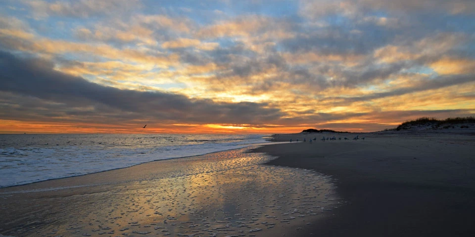
Never the Same Twice But after a storm, natural landscape change is more obvious. Natural storm-driven change can cause striking differences in the barrier island landscape. During storms, high water levels and large waves can scour sand from the dunes and beach face. In some places the force of moving water may push sand over the top of dunes and across the width of the island toward the Great South Bay. Such larger-scale shifts serve as a reference point from which we can observe smaller more gradual changes in our shoreline. Whether slow or sudden, subtle or obvious, natural landscape change is certain and is an integral part of the evolution of the barrier island. Studying the Shifting Sands of the Seashore Shoreline science helps the National Park Service better understand the movement of sand along our dynamic shores and is central to our goal of protecting Fire Island National Seashore for future generations.

Help Document Flooding and Storm ImpactsThe MyCoast New York portal is used to collect and analyze photos of changing water levels, shorelines, and hazardous weather impacts across New York’s varied coasts and water bodies. Photos are linked to real-time environmental conditions to create reports that help stakeholders like government agencies, business owners, and residents understand our changing environment and make informed decisions.Download the MyCoast app or visit MyCoast.org/ny for more information. |
Last updated: April 22, 2024
