|
El Camino Real de los Tejas National Historic Trail extends 2,580 miles across Texas and into northwest Louisiana, while the historic trail extended all the way to Mexico City. There are museums, historic sites, missions, presidios, and original trail segments located along the length of the trail into Mexico. 
Places to Go
Where can you visit the trail? Use the interactive map to find places to visit. 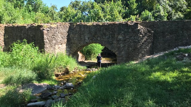
Things to Do
Bike, hike, run, horseback ride, paddle, birdwatch, climb, camp, RV, photograph - there are countless ways to explore your historic trails! 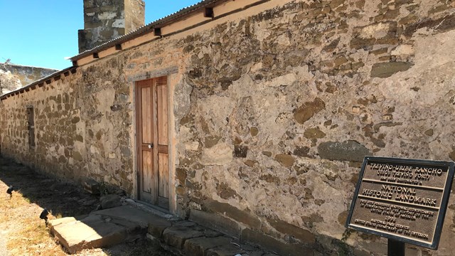
Trip Ideas
Follow a travel itinerary for a fun trip exploring multiple trail sites in one region. 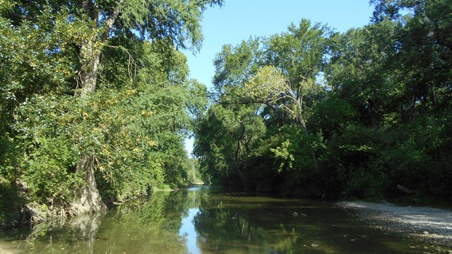
Basic Info
Find info about fees & passes, FAQs, special alerts, how to see ruts & swales, and more. 
Free NPS Mobile App
It's like having a ranger in your pocket! Download the NPS app, find the trail, and start planning your visit today. Travel & TourismThere is no formally established auto tour route for El Camino Real de los Tejas National Historic Trail. However, local travel guides can provide information about historic sites and museums located along the historic trail. Consider contacting chambers of commerce and visitors bureaus in communities along the trail to learn more about local attractions and activities.
|
Last updated: April 10, 2026