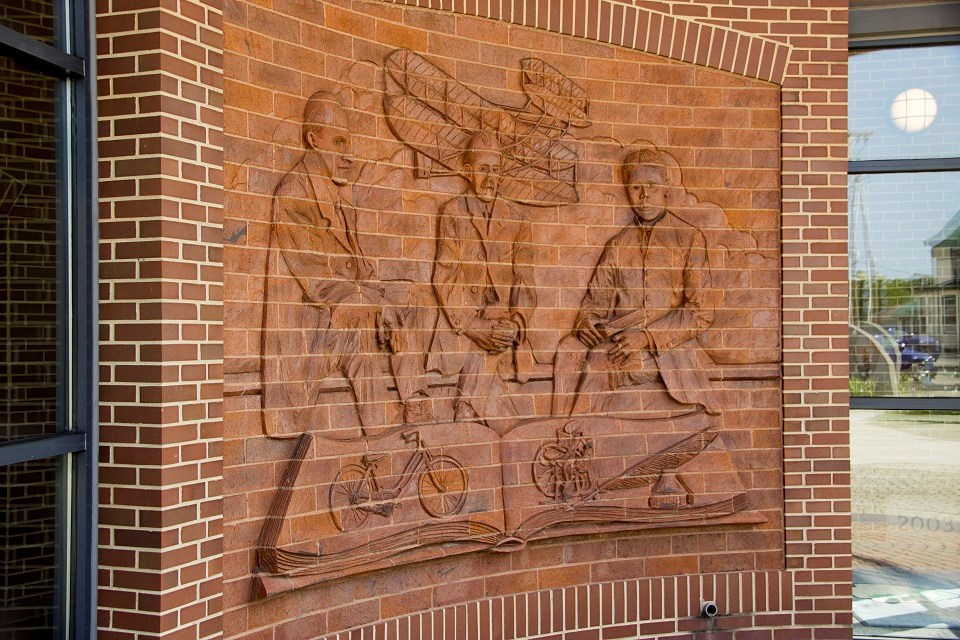
NPS / T. Engberg |
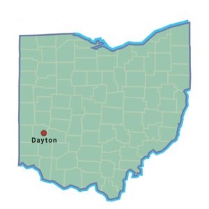
Getting ThereVisitors are encouraged to start their visit at either The Wright Cycle Company Complex/Wright-Dunbar Interpretive Center or the Huffman Prairie Flying Field Interpretive Center. Once arriving at one of the interpretive centers, visitors can receive directions to the other sites. PlaneThe nearest airport for scheduled passenger flights is Dayton International Airport. Other major airports within close proximity are Port Columbus International Airport and Cincinnati/Northern Kentucky International Airport. Nearby general aviation airports include Dayton Wright Brothers Airport, Moraine Airpark, and Greene County Airport. CarPlease scroll down for directions to the park's sites. Maps are available for downloading and printing to supplement your directions. Directions to Wright-Dunbar Interpretive Center & Wright Cycle Company Complex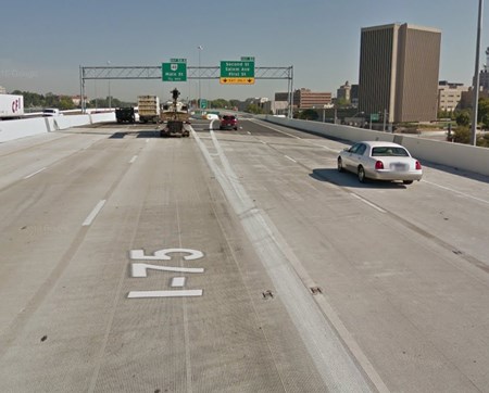
Google Maps From Cincinnati and all points south:
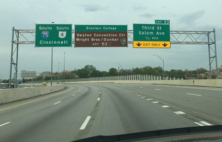
NPS Photo / Tom Engberg From Vandalia and all points north:
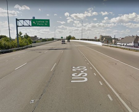
Google Maps From Springfield via U.S. 35 Westbound:
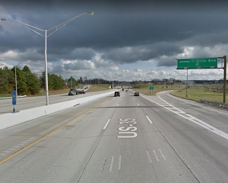
Google Maps From Indianapolis via U.S. 35 Eastbound:
Directions to Huffman Prairie Flying Field Interpretive Center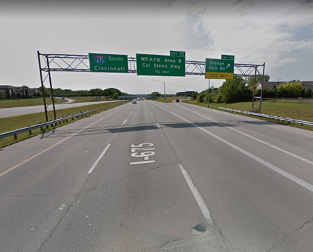
Google Maps From Eastbound or Westbound I-70:
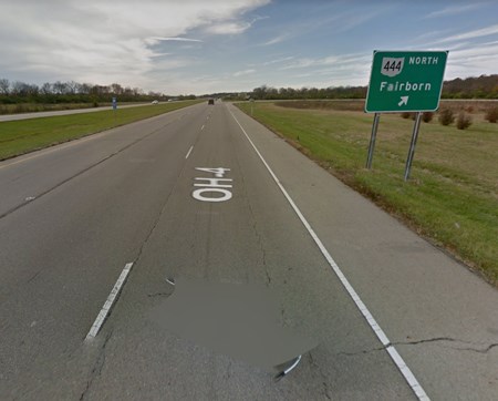
Google Maps From all points via State Route 4:
The Huffman Prairie Flying Field Interpretive Center is located near the National Museum of the United States Air Force at the intersection of State Route 444 and Kauffman Road. 2380 Memorial Road, Dayton, OH. The site is located on an active military base and so GPS can often be tricky. Please make sure to use care when following a GPS route to ensure that all roads on your route are public and accessibile before you begin driving. Directions to Huffman Prairie Flying FieldFrom Eastbound or Westbound I-70:
Directions to Paul Laurence Dunbar House Historic Site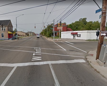
Google Maps From the Wright-Dunbar Interpretive Center:
Public TransportationThe nearest Greater Dayton Regional Transit Authority bus stop to The Wright Cycle Company Complex is located at the intersection of West Third and Williams Street. There is no public transportation to the Huffman Prairie Flying Field Interpretive Center. |
An official website of the United States government
Here's how you know
Official websites use .gov
A
.gov website belongs to an official government
organization in the United States.
Secure .gov websites use HTTPS
A
lock (
) or https:// means you've safely connected to
the .gov website. Share sensitive information only on official,
secure websites.
