Last updated: June 8, 2017
Article
Wildland Fire Monitoring

NPS
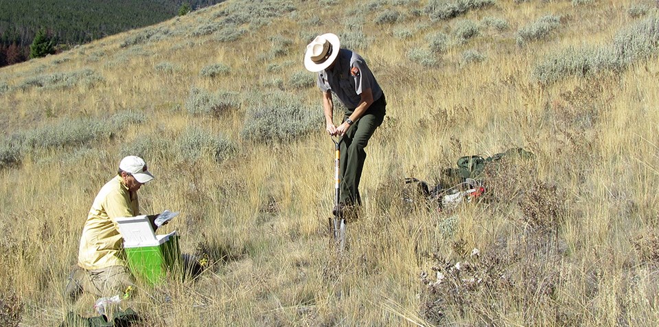
Monitoring is the orderly collection, analysis, and interpretation of environmental data to evaluate progress toward meeting objectives, and to identify changes in natural systems (NPS Fire Monitoring Handbook). Monitoring is part of the adaptive management cycle, a systematic approach for improving resource management by learning from management outcomes. Objectives, or desired outcomes, determine what and how we monitor. Then, we measure conditions and changes over time that will evaluate progress toward meeting or achieving these objectives. Results from monitoring efforts help us stay informed about the effects of management actions and also provide a basis for changing actions, if needed.

NPS
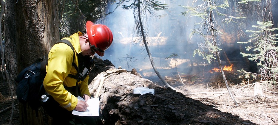
When managing fire, monitoring is used in many different situations and takes a variety of forms. Direct observations of fire behavior can tell us if burning conditions are meeting our expectations. Consistent weather recording on the ground, including temperature, wind speed and direction, and relative humidity, can help predict any changes that may affect the fire. By monitoring smoke in certain affected areas, we can also better determine whether air quality and visibility conditions during fires meet safety and health standards.

NPS photo by Bandelier fire ecology staff
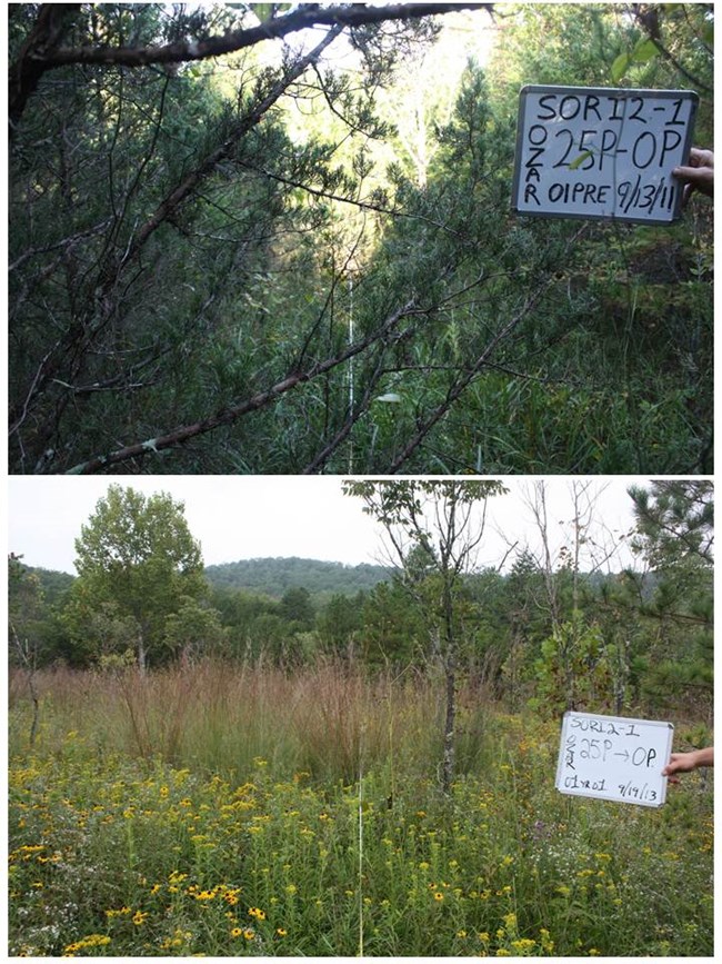
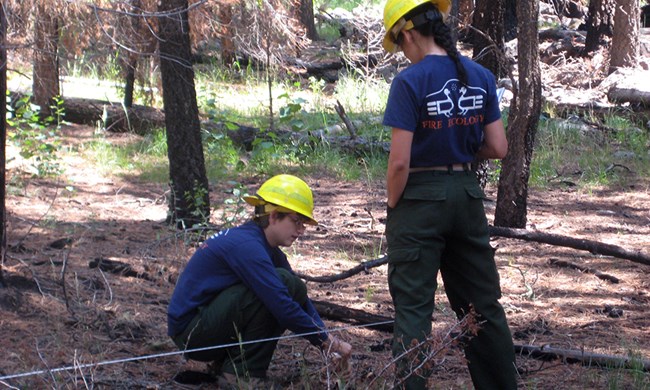
Recording and measuring vegetation on the ground before fires and then again in a time sequence after burning allows us to quantify the effects of fire, such as the changes in numbers and types of trees, shrubs, and other plants following fire.
With indirect monitoring, such as remote sensing using satellite imagery, we can accurately map the area burned as well as examine patterns of fire severity across the landscape.
NPS
Monitoring is critical to successful fire management. Using data collected and analyzed with varying monitoring techniques, we gather valuable information to help plan and make decisions about on-going, as well as future fires.
