Last updated: July 14, 2017
Article
Using Cameras to Study Wildlife After the Springs Fire

NPS
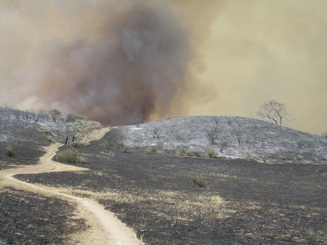
June 2017 - Around 14,000 acres of park land in the Santa Monica Mountains were left scorched after the 24,000-acre Springs Fire in May 2013. Big burns are natural but historically infrequent in Southern California’s Mediterranean ecosystem, typically occurring every 75-100 years. They are growing more frequent, though, as the area’s growing human population ignites more blazes. Climate change may contribute as well by triggering changes like more frequent dry spells that extend the fire season.
While scientists often study how vegetation responds to fires, Santa Monica Mountains National Recreation Area biologists have also wondered about wildlife. How do animal populations respond to burned landscapes? When a wildlife camera project ended around the same time as the Springs Fire, biologists seized their chance to find out. They could re-use the cameras to study wildlife in and around the massive burn.
Biologists used statistical software to randomly select 90 camera points. They adjusted final camera placement within 100 meters of those points to ensure site safety and adequate visibility in front of the cameras. Sites included nearby unburned areas as a basis for comparison with burned areas. Burned areas also had some patches of habitat within them that remained intact. Biologists included some of these as camera sites as well, to see how animals were using them.
With the methods and equipment sorted out, biologists still needed manpower to launch the study and keep the cameras running. Several volunteers stepped in to help make the Springs Fire Wildlife Project a reality. Thirty cameras started collecting their first images in the fall of 2013, five months post-fire.

NPS
One volunteer, Keith Boden, has kept the Springs Fire Wildlife Project going almost single handedly for the past two years. His role is to rotate the 30 cameras among the 90 camera sites once a month and change out their memory cards. It is not an easy task. To reach the random locations, he must traverse rough, often burnt, often trail-less terrain, sometimes in punishing heat. It was just the challenge he was looking for. On his first day, he doubled down, taking on an additional challenge to rotate 10 cameras in a day, a task initially completed by teams of volunteers. He has kept up the pace, running 8-16 miles to rotate 10 cameras in a day, ever since.
In addition to rotating the cameras and changing memory cards, Boden gets a first look at the pictures. He removes frames that don't show wildlife, and delivers the rest to park biologists to label and tally.

NPS
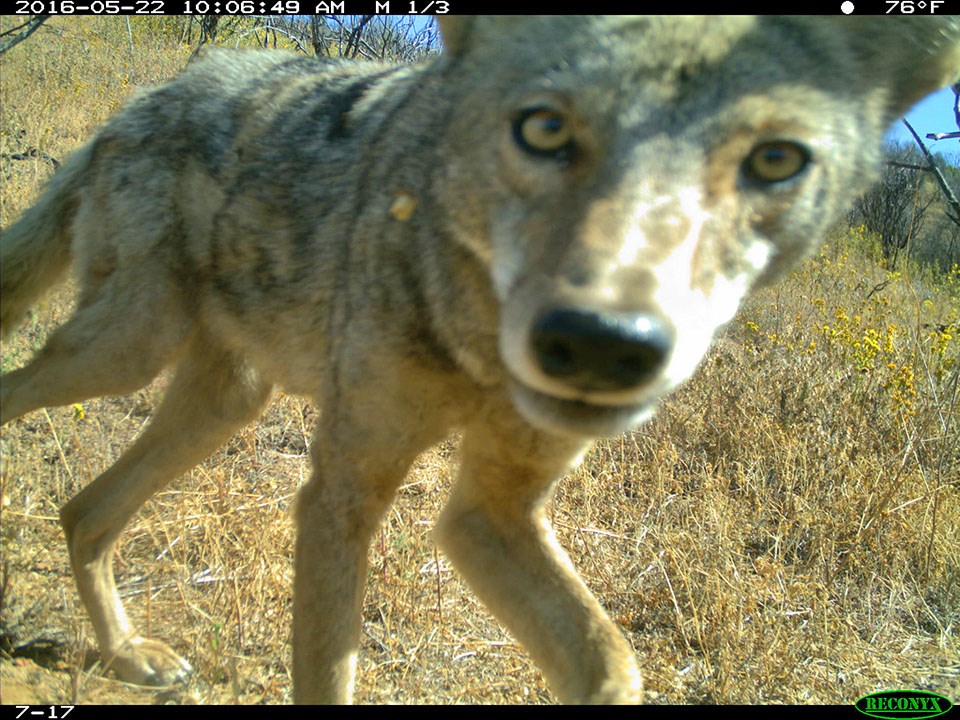
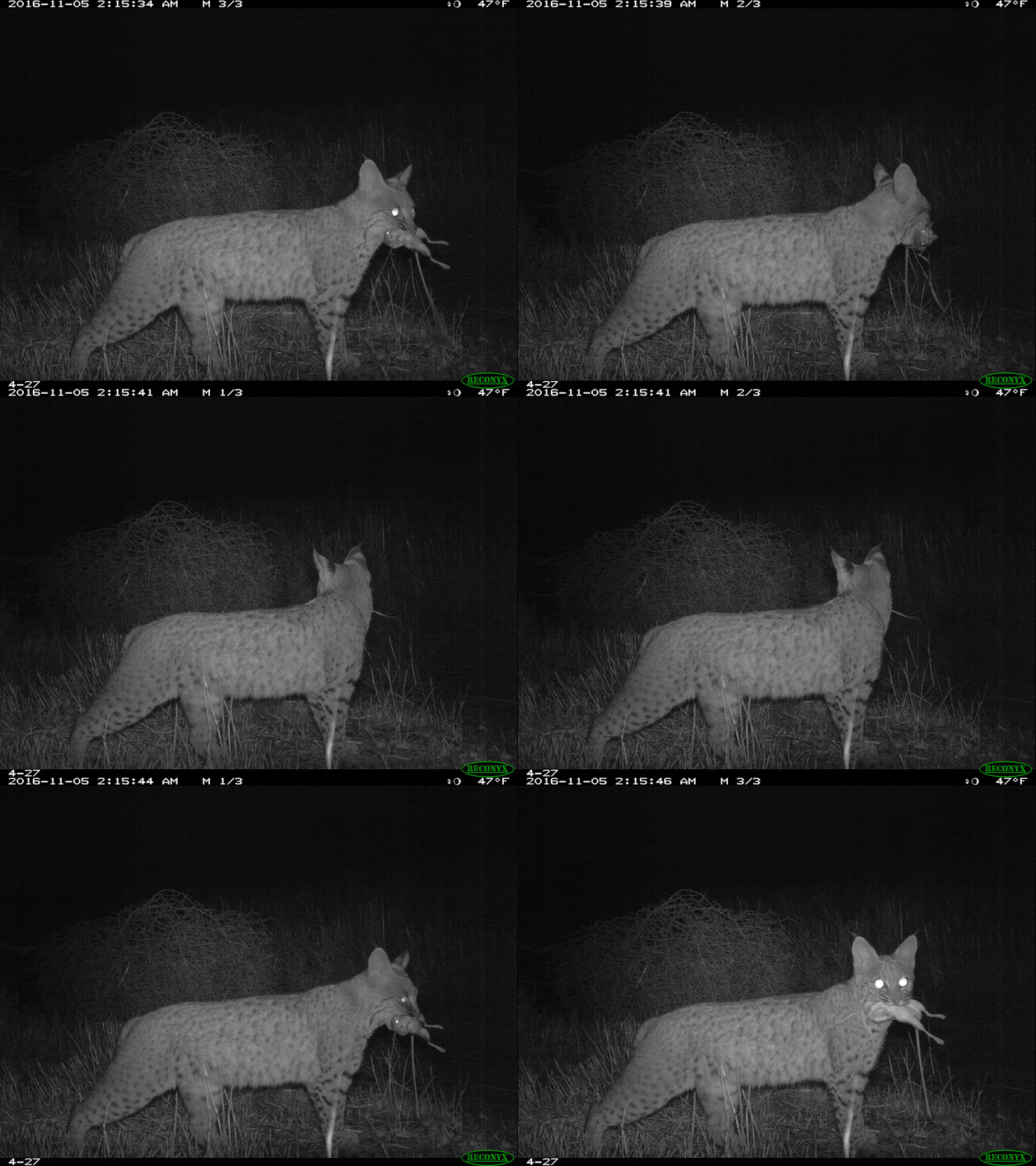
So far, biologists have completed a preliminary analysis of the first year’s worth of pictures. They found coyotes and gray foxes using the burned areas from the start. Coyotes were the only species captured on camera more often in burned than in unburned areas. The opposite was true for the foxes. Bobcats were rarely seen in the burned areas, but turned up in habitat patches just as often as in unburned areas. Similarly, small mammals such as rabbits were seen much less in burned areas than in the patches or unburned areas. California mule deer seem to be showing up more in the burned areas over time.
Representatives of most the region’s land mammals, from badgers to mountain lions, were eventually captured on cameras in the burned areas. Still, almost all have been seen far more often by cameras in unburned areas nearby. Species that haven’t turned up in burned areas include gray squirrels, ground squirrels, and opossums. Rarer species like ringtails have not shown up on any cameras.
The project, now in its fourth year, is expected to wrap up this fall (or whenever Keith quits running). Biologists then plan to focus on labeling their growing backlog of photos, perhaps with the help of additional heroic volunteers. From there, they will be able to complete an analysis of how wildlife used the burned areas and habitat patches compared to unburned areas throughout the course of the study. What they learn could help Santa Monica Mountains parks plan ways of supporting wildlife in the face of more frequent fires.
Prepared by the Mediterranean Coast Inventory and Monitoring Network.
