Last updated: December 13, 2018
Article
Time-lapse Photography of Glaciers at Mount Rainier National Park
Mount Rainier National Park contains 29 named glacial features which cover an area of 30.4 square miles (78.8 km2) (Beason, 2017), making it the most glaciated mountain in the conterminous United States. As part of long term monitoring projects on glacier health at Mount Rainier and other region parks, we are interested in the effects of climate on overall glacial mass balance. All glaciers at Mount Rainier are retreating, some of them quite dramatically. For instance, the terminus of the Nisqually Glacier on the south side of Mount Rainier has had an average retreat rate of about three feet (one meter) every 10 days between 2003 and 2015. Between 1896 and 2015, Mount Rainier as a whole has had an overall decrease in glacial area of 20.1 square miles (52.1 km2), or an annual decrease of 0.17 square miles per year (0.44 km2/year) (George and Beason, 2017).

NPS / Scott Beason
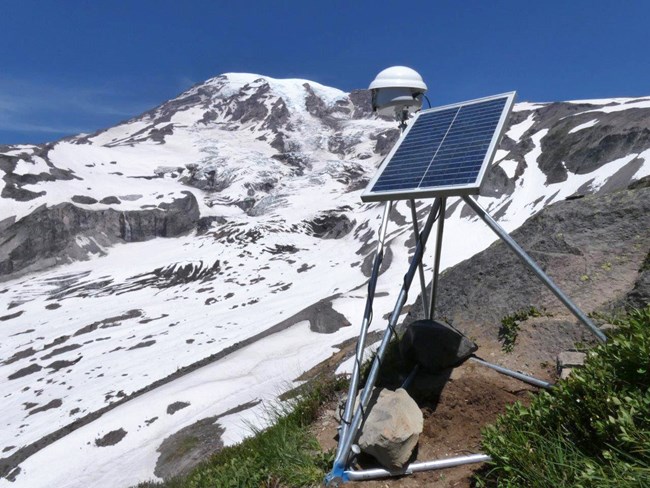
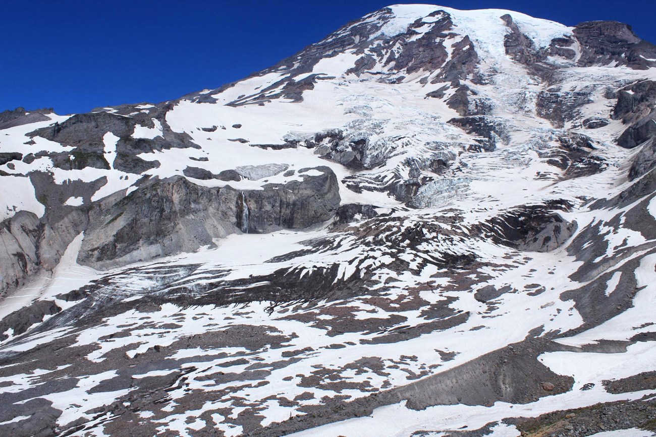
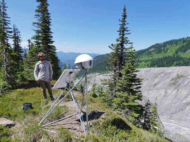
While many studies currently exist that are documenting changes to glaciers at Mount Rainier, one of the best ways to witness the dynamic nature of a glacier is with time-lapse photography. In 2018, the National Park Service’s North Coast and Cascades Research Learning Center funded the procurement of two field-deployable solar-powered high-resolution time-lapse cameras. These cameras were installed to view the Nisqually Glacier: one location (nicknamed “Minion 1”) along the Moraine Trail that observed the terminus of the glacier to summit; and one location (nicknamed “Minion 2”) along the Skyline Trail that observed the glacier from about the 6,000 foot level to summit. Each installation included a tripod mount, solar panel, equipment housing, batteries, camera controller, and 18.0 megapixel Canon Rebel T6 Digital SLR camera. The camera was programmed to acquire images at a five-minute interval during daylight hours.

NPS
We are at the end of the first field season with this equipment, focusing on processing the still images and generating movies. The 2018 effort produced almost 32,000 individual still images which take up 235 GB of data storage! Some preliminary movies have been generated, and can be seen below.
In addition to the two installations along the Nisqually Glacier, we also take advantage of a Park Service web camera located at Camp Schurman at the 9,480 foot (2890 meter) level near the Emmons and Winthrop Glaciers to generate an additional time series of the northeast face of Mount Rainier. The 2018 video can be seen below. An additional time-lapse camera installed by Pacific Lutheran University’s geology program views the South Tahoma Glacier, watching for outburst floods and debris flows.
Many interesting geological phenomena can be seen in the movies, including, but not limited to: ablation (melting) of winter snow during the summer period; ice and rock falls; the motion of the active vs. stagnant glacial areas; opening and closing of glacial crevasses; obscuring smoke from wildfires; and the changes in velocity of the glacier during hot vs. cool periods.

NPS / Taylor Kenyon
Our long term goal is to occupy the same location every year and generate not only yearly time series, but decadal time series that show the changes to glaciers over time. We also hope to increase the camera network and improve the data storage system so that we can cover other glaciers in the park. This project not only generates beautiful and mesmerizing videos, but photos before and after a geologic event (e.g., debris flow or outburst flood) will contribute to our understanding of the driving forces behind such events.
This project is a unique opportunity to study glaciers prone to the effects of a warming climate and the subsequent outburst floods and debris flows. Through this project, we hope to foster interest in studying changes to glaciers and glacial phenomena. Understanding the complicated and dynamic movement of glaciers on our landscape provides new prospective about these features, which contributes to a greater understanding and appreciation of the unique and amazing natural processes at play in Mount Rainier National Park.
References
Beason, S.R., 2017, Change in glacial extent at Mount Rainier National Park from 1896-2015: National Park Service Natural Resource Report NPS/MORA/NRR—2017/1472, 98 p.
George, J.L. and S.R. Beason, 2017, Dramatic changes to glacial volume and extent since the late 19th century at Mount Rainier National Park, Washington, USA: Poster #158-6, Geological Society of America Abstracts with Programs, Vol. 49, No. 6, doi: 10.1130/abs/2017AM-299694.
For More Information
Email Scott Beason
Summary by Scott R. Beason and Taylor R. Kenyon, Mount Rainier National Park, November 2018. Published by the North Coast and Cascades Research Learning Center.
