Last updated: October 24, 2024
Article
Climate and Water Monitoring at Tonto National Monument, Water Year 2018

Climate, groundwater, and surface water are closely related. At Tonto National Monument, the Sonoran Desert Network monitors all three to track broad-scale change and provide early warning of potential problems.
Background
Many National Park Service units in the U.S. Southwest were established to protect precious cultural resources. In most cases, however, the surrounding natural environment is an equally significant part of the story. At Tonto National Monument, in central Arizona, the remains of the precontact built environment reflect the importance of reliable water sources.
At Tonto National Monument, cliff dwellings sit high above the Salt River Valley. The location of these important prehistoric resources is directly related to the perennial waters, productive alluvial soils, and diverse natural resources of the Tonto Basin. People of the Salado culture inhabited the cliff dwellings for approximately 300 years, until around 1450 A.D.
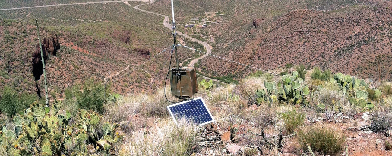
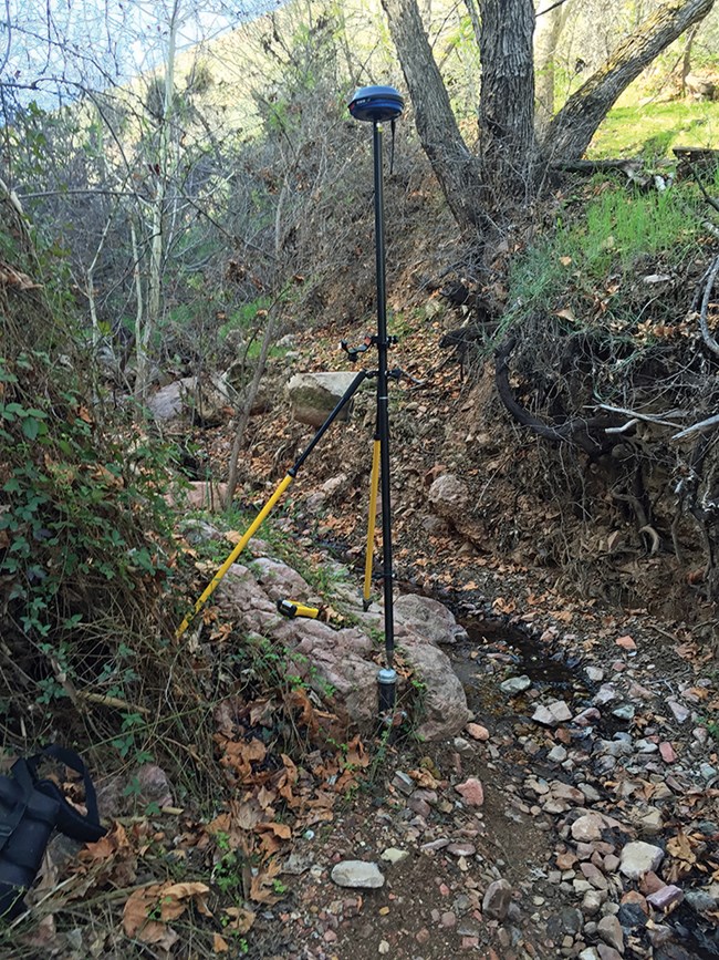
The Sonoran Desert Network monitors groundwater and springs at Tonto National Monument. The goal of the program is to detect broad-scale changes in ecological condition by observing certain parameters over time—and to give park managers early warning of any issues they may need to address.
Hydrologic conditions are closely related to climate conditions. Because the two are better understood together, the Sonoran Desert Network reports on climate in conjunction with water resources. Reporting is done by water year (WY), which begins in October and ends the following September.

Recent Findings (Water Year 2018)
Climate
Water year 2018 was drier than normal. Overall annual precipitation was 32% of normal, based on a 30-year record (1981–2010). Precipitation was just 20.3% of normal (-8.42") for the fall and winter of WY2018; October and November were completely dry. Precipitation was about half of normal for the spring and summer months, though a single, 0.33" storm event dropped over four times the normal rainfall for June. Temperatures in the cool season ranged from 31.9 to 90.4°F, with peaks in October and lows in February. Temperatures in the warm season ranged from 47.0 to 106°F, with peaks in July and lows in May. Extremely cold days (<35°F) occurred on five days, and temperatures remained below 32°F for 24 hours just once. The largest precipitation event was 0.49", on August 12. Additional information can be found at The Climate Analyzer.

Groundwater
Shallow groundwater was monitored at Cave Canyon Creek and Cinda’s Seep. Mean water level in Cave Canyon Creek in WY2018 was 1.03 feet above the sensor. The water level rose in response to winter rains and decreased through the dry, warm months. After the monsoon rains started, the water level increased. Data from Cinda’s Seep indicated that the water level did not rise above the sensor in WY2018. The monitoring record for Cinda’s Seep indicates that the shallow water table increased above the sensor only in winter or early spring WY2010–2012, then dropped below the sensor in late spring.
Springs
Cave Canyon Spring is a rheochrene spring dominated by run-off discharge. Disturbance surveys at Cave Canyon Spring resulted in a median value of 1 = undisturbed for both anthropogenic and natural disturbance. Temperature sensors indicated that the spring was wetted throughout the entire sampling period. Sampled parameters for water quality and water chemistry were all within the expected ranges for this site.
Information in this brief was summarized from E. L. Gwilliam, L. Palacios, and K. Raymond. 2019. Status of climate and water resources at Tonto National Monument: Water year 2018.
