Last updated: March 30, 2018
Article
Sea Cave Monitoring Continues Along Golden Gate’s Shores

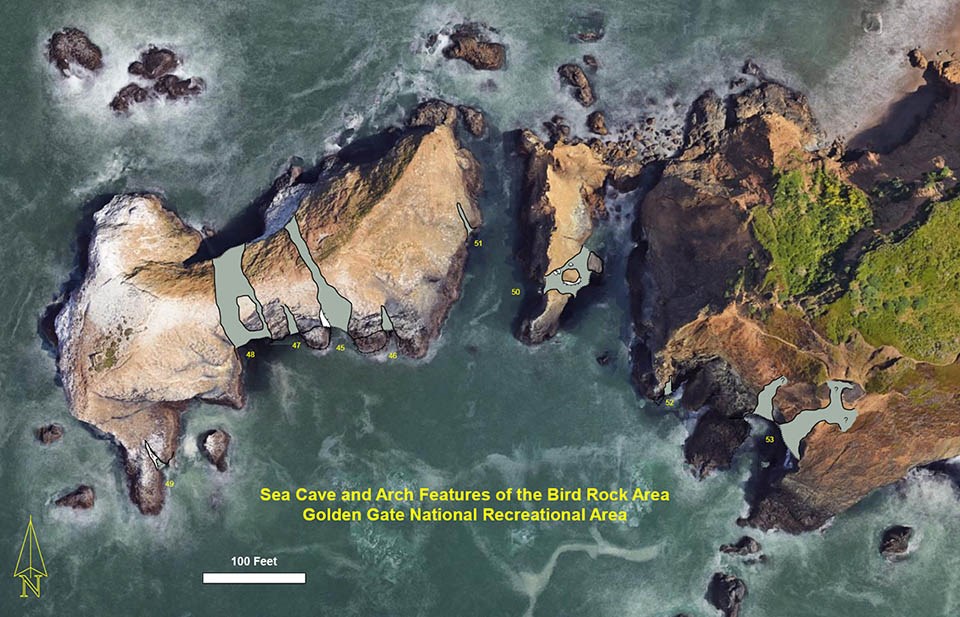
March 2018 - Staff from the Alaska Regional Office and the Golden Gate National Recreation Area Natural Resources Division are continuing to explore and map sea caves and related features along the park’s coast. With surveys of the Marin Headlands coastline completed—but just some of San Francisco’s shorelines surveyed—they have already found and mapped over 100 caves and cave-like features. The next set of surveys are scheduled for this fall.

NPS
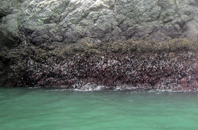
One of the interesting things that the team has discovered is that the relatively vertical walls of many arches clearly show how marine organisms are separated into bands based on their tolerance to the air and sun. For instance, the photo of the arch at Bird Rock shown here reveals limpets (small white circles below the whitewash) and barnacles (smaller white dots), which can be found in this “splash zone” as they are the most tolerant. Below that are mussels and gooseneck barnacles (the lumpy green-brown layer), with mixed red algae below that.
This work has been funded by the NPS Geologic Resources Division through the technical assistance program, and boat support to access the caves is provided by NPS lifeguards and the California Department of Fish and Wildlife. Contact Darren Fong with questions.
