Last updated: October 29, 2019
Article
Scotts Bluff National Monument Landscape
NPS
Introduction
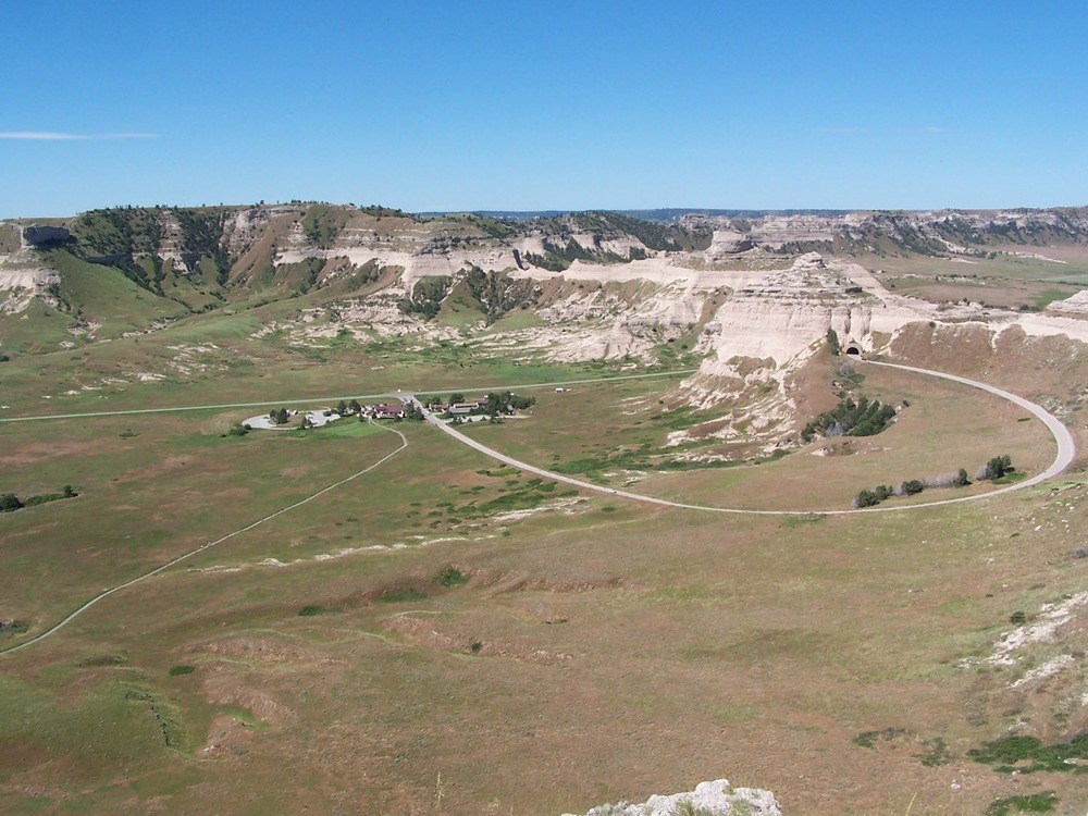
Scotts Bluff National Monument in Gering, Nebraska, contains approximately 3,000 acres of land and several sandstone bluffs that average 800 feet tall. Pioneers embarking on the great westward migration from 1843-1869 welcomed the sight of the rock formations rising from the otherwise flat Great Plains. In addition to offering visual reprieve from the homogenous landscape, Scotts Bluff provided a source for physical resources, including water and wood. Pacific Fur Company traders first documented the existence of Scotts Bluff in 1812 while establishing a route from the east to the company trading post in Astoria, Oregon. Around 1850, the route, by then a component of the Oregon Trail, moved closer to the North Platte River through the bluffs at Mitchell Pass. The California and Mormon Trails, the Pony Express, and the Transcontinental Telegraph also utilized this route.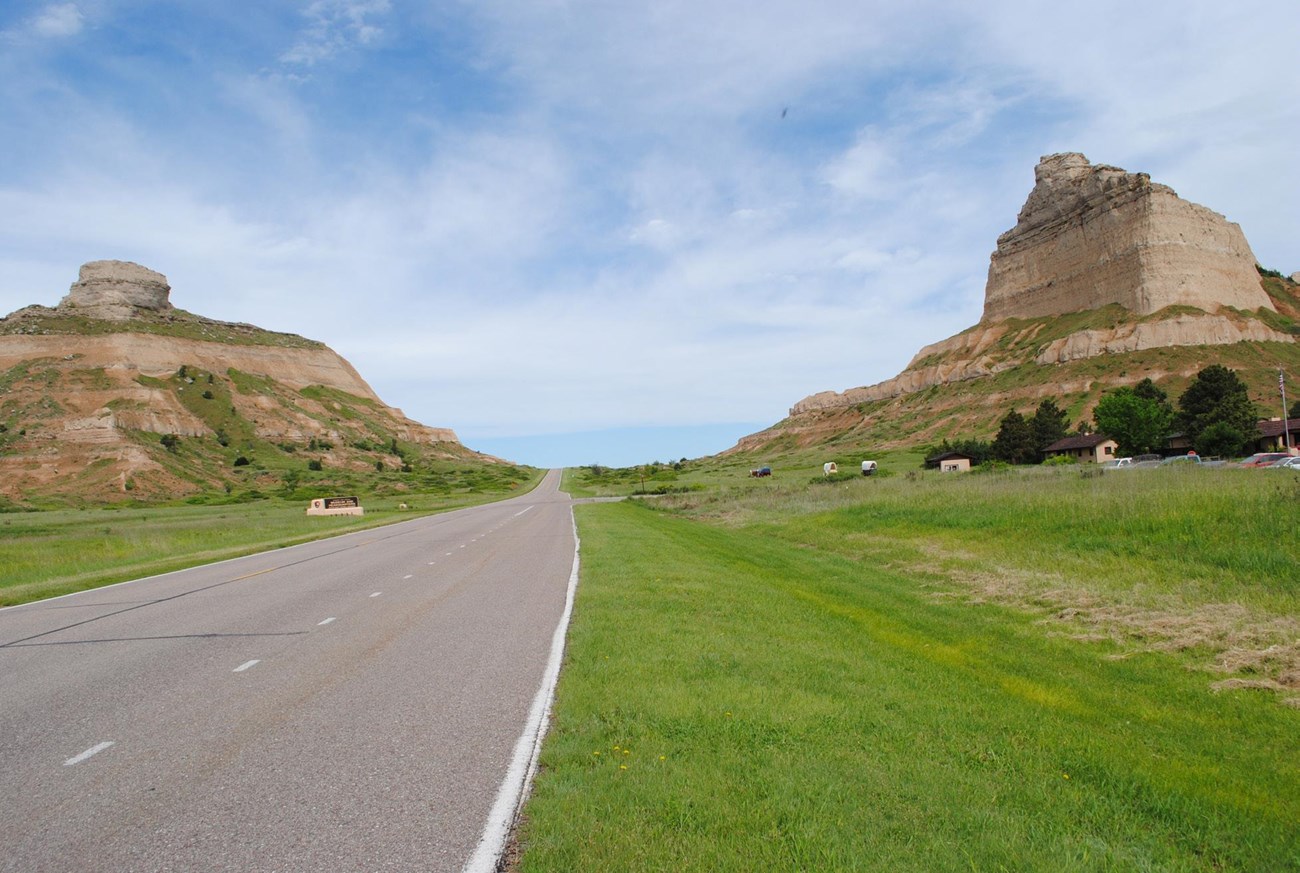
NPS / Scotts Bluff National Monument Cultural Landscape Report
Landscape Description
The North Platte River forms the Scotts Bluff National Monument’s northern border while Highway 92 intersects the area to roughly follow the historic route of the Oregon Trail. Highway 92 runs between two large bluffs: Scotts Bluff and South Bluff. Other natural rock formations include Eagle Rock, Sentinel Rock, and Dome Rock. Wooded vegetation occurs along the bluffs while mixed prairie grasses, shrubs, and forbs define the plains below.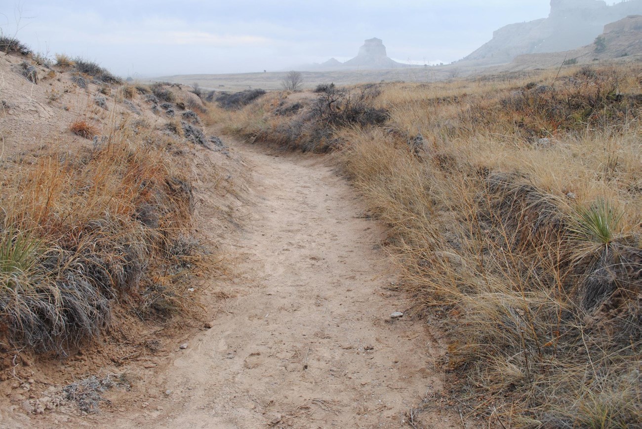
NPS
NPS / Scotts Bluff National Monument archives
Historic Use
Many different Native American cultural groups have utilized the area around Scotts Bluff for the past 12,000 years. The earliest group, Paleoindian peoples, likely hunted megafauna in the area.In 1812, Robert Stuart, an employee of John Jacob Astor’s Pacific Fur Company, was the first Euroamerican to document the rock formations at Scotts Bluff. Another individual involved in the fur trade, Hiram Scott, died in 1828 under mysterious circumstances near the eponymous bluffs. Early explorers, trappers, and traders traveled through Scotts Bluff and helped establish the route for later travelers to the west. These groups included missionaries, military officials, pioneers, and individuals fleeing religious persecution. Early emigrants traveling via wagon train used Robidoux Pass, which avoided the badlands near the Platte River and instead followed a route about eight miles south of Scotts Bluff. Starting in 1850, the popularity of Robidoux Pass declined in favor for Mitchell Pass, which ran closer to the river. Unidentified laborers altered the pass to allow safe wagon travel. Mitchell Pass became part of not only the Oregon Trail, but also the Overland Trail, Pony Express, and transcontinental telegraph.
By the 20th century, travel on the Oregon Trail had declined considerably after the competition of the Transcontinental Railroad. The Union Pacific railroad, completed in 1910, crosses the northern section of the Monument. Around this time, homesteaders and cattle ranchers settled in the region and altered land use patterns.
NPS
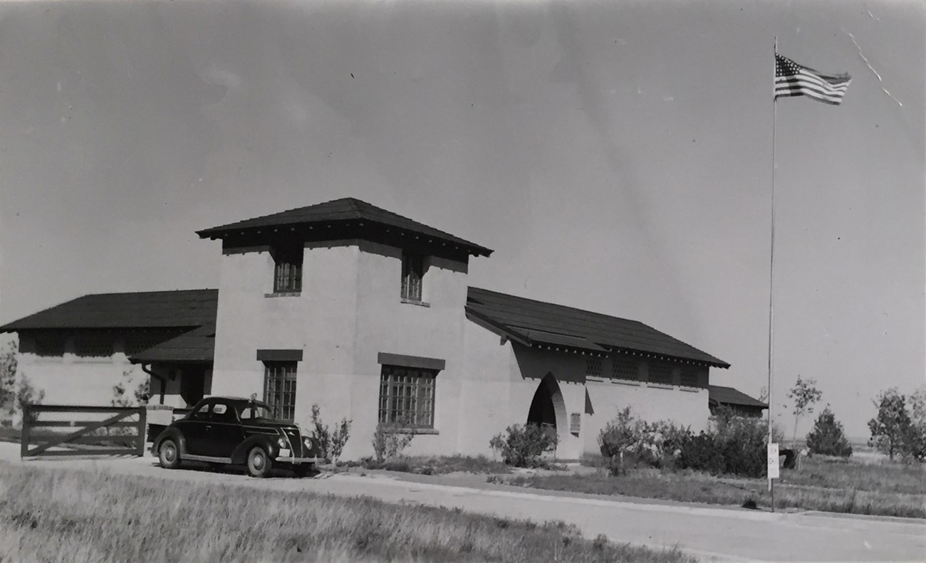
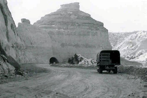
In 1933, the National Park Service and Civilian Conservation Corps oversaw construction on the Summit Road, tunnels, Saddle Rock Trail, and parking areas. In 1935, the first wing of the Oregon Trail Museum was completed. Mission 66 improvements followed the established design of the 1930s and 1940s.
Scotts Bluff National Monument was listed in the National Register of Historic Places in 1976. Two years later, U.S. Congress designated the Oregon Trail as a National Historic Trail. Today, the Scotts Bluff landscape remains a tangible reminder of our nation’s past, including its use by Native American peoples and association with the great westward migration. In more contemporary history, Scotts Bluff also remains historically significant for the additions to the site completed under federal work programs.
Quick Facts
- Landscape Type: Historic Designed Landscape, Historic Site
- National Register Significance Level: National
- National Register Significance Criteria: A, C
- Period(s) of Significance: 1,930 BP-370 BP to 1958, 1933-1958


Left image
Oregon Trail Museum/Visitor Center during construction in 1937.
Credit: NPS
Right image
The same Visitor Center at Scotts Bluff National Monument in 2014.
Credit: NPS
Tags
- scotts bluff national monument
- cultural landscape
- mwr
- profile
- nebraska
- rock formation
- pacific fur company
- public works administration
- civilian conservation corps
- ccc
- works progress administration
- mission 66
- oregon trail
- park development
- scotts bluff
- railroad
- oregon trail ruts
- summit road
- native american
- mormon pioneer trail
- california national historic trail
- pony express national historic trail


