NPS
At Booker T. Washington National Monument, a recent archeological project has offered scientists, planners, and park staff a valuable glimpse into the past. Unlike more conventional archeological surveys, the team did not dig or use trowels. Instead, they utilized specialized scientific instruments on the ground surface to collect geophysical data, sensing conditions and anomalies below the surface similar to the way that a doctor can use ultrasound technology to visualize internal conditions of a patient.
Analysis of the data will help interpretive staff and facilities managers paint a more accurate portrait of both the physical layout of the site during Booker T. Washington’s boyhood and daily activities during the landscape's historic period. The team hopes that the data will provide information regarding specific locations of buildings and paths and, more importantly, yield information to develop a more accurate portrayal of Washington’s boyhood and plantation operations.

NPS
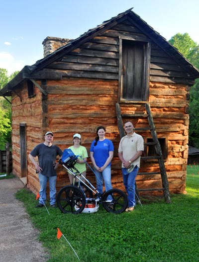
Archeologists William Griswold of the NPS Northeast Regional Office and Liza Rupp of Valley Forge National Historical Park, along with Historical Landscape Architect Eliot Foulds and Student Conservation Associate (SCA) intern Alexandra von Bieberstein, both of the National Park Service Olmsted Center for Landscape Preservation, concluded a five day geophysical survey at Booker T. Washington National Monument on May 10, 2013. The team worked closely with park Natural Resource Manager Timothy Sims and Superintendent Carla Whitfield. Volunteers Kathy Scott, Don Kelso, and Bill Novak assisted with field work.
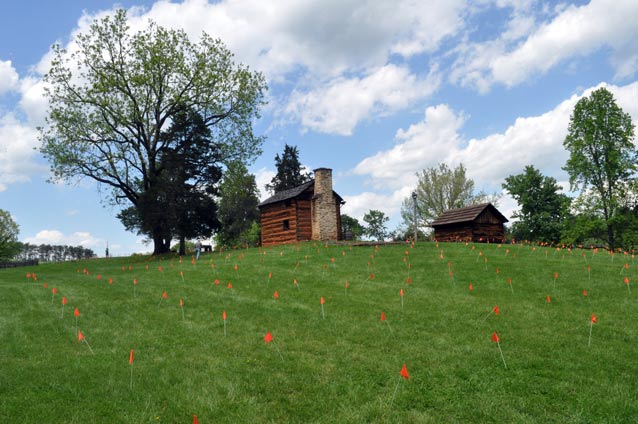
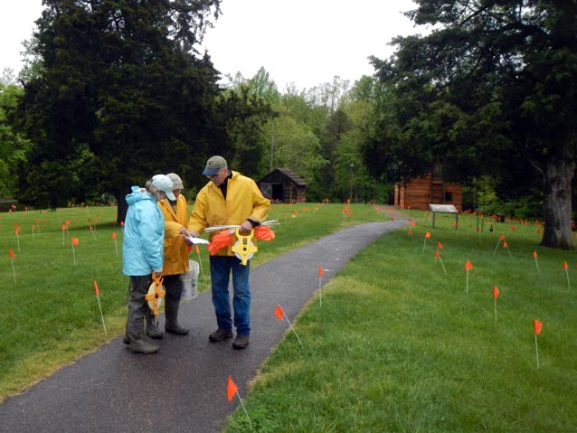
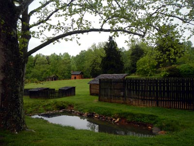
Building on previous archeological studies, the team utilized a coordinate grid system to survey ten twenty-by-twenty meter adjoining areas, an area just under one acre. The survey incorporated the reconstructed kitchen cabin, smokehouse, and stone outlines of percieved locations of the Burroughs’ house and Booker T. Washington’s birth cabin, as well as a portion of the outlying areas interior to the creeks that border the historic core of the site.
The team used ground penetrating radar (GPR), a resistivity meter, and a gradiometer/magnetometer to collect data that will provide new insight into the physical layout of the former Burroughs’ Plantation. Although the instruments are water resistant, heavy rainfall and thunderstorms forced the team to halt field work on several occasions due to concerns about water damage to equipment and personal safety.
The planned use of a fourth instrument, a conductivity meter, was not possible due to the weather. Despite the rainfall, the team was able to collect GPR data at half meter intervals throughout the entire survey area and collect over half an acre of resistivity and magnetics data, building on a previous archeological study of the area.
The depth of data collected using GPR is dependent on soil conditions and types, and the heavy clay present on the site limited the data collection to four to five feet below the surface in most areas, although in ideal soil conditions GPR can collect data up to ten feet below the surface.

NPS Photo
Griswold will be performing an analysis of the data, looking for anomalies that typically result from contrasting soils or other materials sensed by the instruments. Confirming anomalies will require ground truthing through traditional archeological excavations before conclusions about the physical layout of the property can be confirmed. However, the results from this recent survey provide valuable starting points to locate areas that warrant additional exploration.
Previous archeological studies have focused on specific locations of structures such as Booker T. Washington’s birth cabin. This recent study will assist the National Park Service to more accurately interpret and portray daily life and activities through an understanding of the larger systems within the property.

NPS Photo
The survey will help develop an understanding of sense of place, relating the core of the site to the larger landscape, in addition to clarifying specific locations that Washington later wrote of in his autobiography Up from Slavery. These include the cabin from his boyhood where he slept on a “bundle of rags” and the location where “some man who seemed to be a stranger (a United States officer, I presume) made a little speech and then read a rather long paper – the Emancipation Proclamation, I think. . . . We were told that we were all free, and could go when and where we pleased.” It is anticipated that the results from this survey and others that follow will yield new evidence to improve the accuracy of interpretation and guide future management decisions.
Contributed by Alexandra von Bieberstein, May 2013
Last updated: November 28, 2016
