Last updated: September 27, 2018
Article
Mount Rainier Volcano Monitoring
NPS Photo
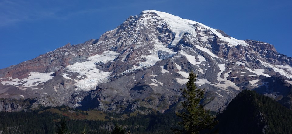
While Mount Rainier’s last eruptive period was about 1,000 years ago, Mount Rainier is considered an active volcano and will have future eruptions. Mount Rainier National Park aids with logistical support as the USGS Cascades Volcano Observatory (CVO) conducts monitoring of seismic activity (with the Pacific Northwest Seismic Network), ground deformation, hydrothermal activity, and more to track Mount Rainier’s volcanic activity.
There are several ways that the volcanic activity of Mount Rainier is monitored:
USGS Photo
Petrology
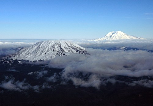
Is Mount Rainier made up of the same stuff as Mount St. Helens? This is the type of question answered by petrology. Petrology is the study of the origins of rocks and magmas by examining their chemical compositions. The chemical composition of minerals and glasses provides clues about the depths, temperatures, volatile contents, and other factors present during their formation. Through this research scientists know that Mount Rainier is not formed of the same material as Mount St. Helens, nor Mount Adams. Magmas and volcanic rocks of Mount Adams are closest in composition to basalts, those of Mount St. Helens are least like basalt, while Mount Rainier is in between in composition.
Why does this matter? Because the chemical composition of magmas also plays a big role in how volcanoes erupt. These differences are usually gauged by the concentration of the chemical component SiO2 (silicon dioxide). The average SiO2 concentration of volcanic rocks from Mount Adams is 57-59 weight %, Mount Rainier is 61-62 weight %, and Mount St. Helens is about 64 weight %. These differences seem small but they are reflected distinctly in the eruption styles: lower-SiO2 magmas are generally more fluid, while higher-SiO2 magmas are more viscous, which can trap gases leading to increased pressure and explosive eruptions. So Mount Adams, with low SiO2 magmas, consists wholly of lava flows, most of which are thin; Mount Rainier consists mainly of lava flows, some of which are quite thick and accompanied by minor explosively erupted pumice; and Mount St. Helens consists mostly of lava domes with common pumice eruptions.

PNSN Graphic
Seismology
Seismology is the study of earthquakes. Earthquakes are monitored around volcanoes like Mount Rainier because an increase in seismicity – an increase in the amount of earthquake activity – could mean that the volcano is becoming more active or may erupt. In an average month, 1-5 high-frequency earthquakes are recorded at Mount Rainier. In addition, small swarms of 5-10 earthquakes over a 2-3-day time period occasionally occur. All of these earthquakes are shallow, with most locating near sea level (~4 km below the summit) and are interpreted to be occurring in response to stresses associated with hydrothermal activity beneath Mount Rainier as described in the previous post.
The Pacific Northwest Seismograph Network (PNSN), in cooperation with the USGS Cascades Volcano Observatory (CVO), monitors seismic activity at volcanoes in the Pacific Northwest including Mount Rainier.

USGS/Ben Pauk Photo
Ground Deformation
Ground deformation, or the changing shape of the volcano’s surface, can indicate movement of magma in the interior of the volcano. A notorious example is the bulge that formed on the north flank of Mount St. Helens in April-May, 1980, preceding its explosive eruption. Mount Rainier is monitored in several locations with tools such as GPS, sophisticated tiltmeters, and other sensors to measure and report even tiny changes in ground deformation. Most of these measurements can be done remotely, minimizing risk to scientists in the field, as well as minimizing reporting time.
NPS Photo
Volcanic Gases
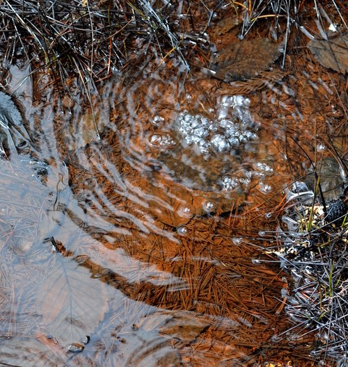
Volcanic gases play a large role in the type of eruptions that occur at different volcanoes. Explosive eruptions occur when volcanic gases become trapped, building up pressure within the volcano. Studying the composition of volcanic gases can also help predict the behavior, size, and shape of volcanic plumes after eruptions. Volcanic gases can be “seen” daily at Mount Rainier, bubbling up at the Longmire mineral springs and Ohanapecosh hot springs.
USGS/Steven Ingebritsen Photo
Hydrothermal
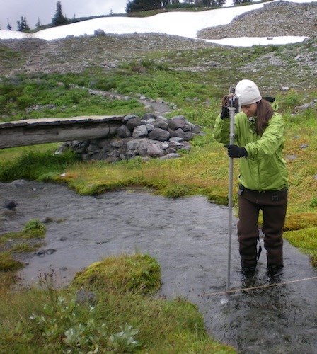
One of the signs that Mount Rainier is still an active volcano is hydrothermal activity. This means that water is being heated by volcanic processes within Mount Rainier and circulating underneath the surface of the mountain. At certain points, this water comes to the surface. The USGS Cascades Volcano Observatory (CVO) monitors hydrothermal sites at the summit, at Paradise Creek, and at the Nisqually River, which collects hydrothermal outflow from many springs on the slopes of Mount Rainier. Monitoring includes tracking temperature changes as well as mineral compositions of the water. Changes in hydrothermal activity may correspond with changes in Mount Rainier’s volcanic activity.
NPS Photo
Geohazards
Mount Rainier, the highest volcano in the Cascade Range, towers over a population of more than 3.7 million in the Seattle-Tacoma metropolitan area, and its drainage system via the Columbia River potentially impacts another 500,000 residents of southwestern Washington and northwestern Oregon.
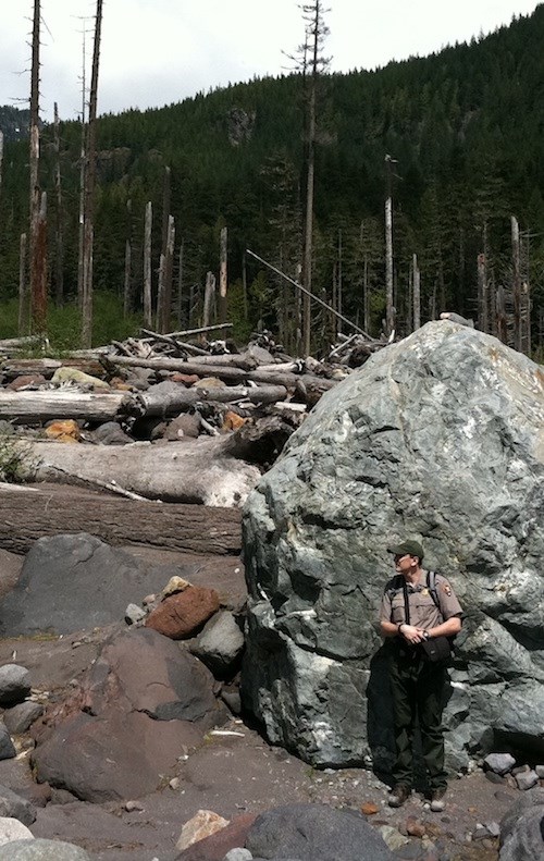
Eruptions on volcanoes like Mount Rainier are complicated by the glaciers covering them. During an eruption, glacial ice can melt and mix with rock, ash, and other volcanic materials to form powerful flows of mud and debris. Lahars (volcanic mudflows), post-lahar sedimentation, and flooding can have greater effects on downstream populations than the eruptions themselves, and these hazards can persist for years after the eruption is over. These geohazards can occur during eruptions, after large landslides, even without an active volcanic eruption.
Smaller seasonal debris flows can also be caused by sudden outbursts of glacial water, by intense precipitation, or embankment failure. While detection and warning models are improving, it is important to always be aware of your surroundings. Remember, if you notice a sudden change in water levels, feel the ground rumble, or hear a loud roaring sound, move to higher ground immediately! If you see signs of a debris flow or other geohazard activity, please report it to a ranger.
