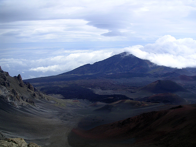
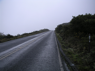
The Haleakalā Highway is a 37-mile road from the town of Kahului, Maui to the summit of Haleakalā. The Haleakalā Highway cultural landscape is a historic district that includes the portion of the highway within Haleakalā National Park and several developments along its route. The highway climbs from sea level to 10,000 feet, attaining this elevation in a shorter distance than any other road in the world and providing views of the Haleakalā Crater.
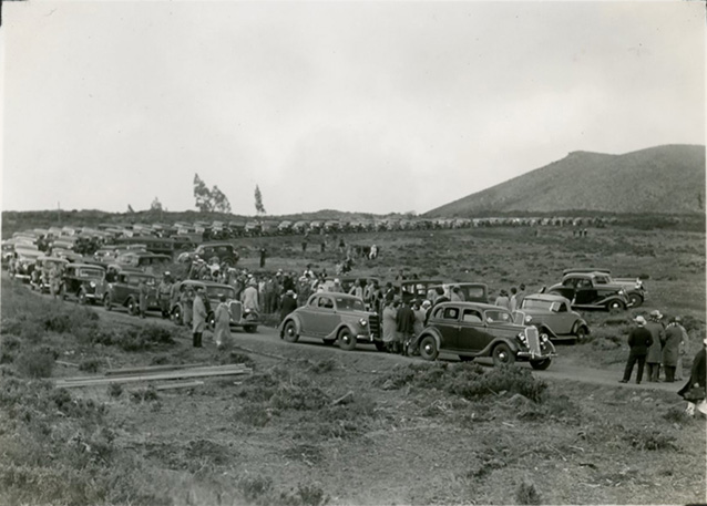
"Today dreams have come true. There is a road... and we are very happy. We are happy because now we know that the thrill which we have experienced will no longer be denied to anyone. Sunrise on Haleakalā! and sunset. These are for everyone now..." Superintendent Wingate at the opening summit ceremonies, 1935

NPS

NPS
The 10.6-mile portion of the highway within the park boundaries was designed by the Bureau of Public Roads (BPR) between 1925 and 1933 with input from the Hawaii National Park superintendent and National Park Service landscape architects. Road construction on this segment of the road began in 1933 and was completed in 1935 with improvements made at White Hill and the Kalahaku Overlook. Modifications and improvements to the transportation corridor continued until 1941, before the U.S. entered World War II, and work picked up again following the war as part of the NPS Mission 66 Program.
Alignment and construction techniques for the road, buildings, and structures were carefully employed to decrease its visual and physical impact on the landscape and to showcase the spectacular views of the island and ocean below, culminating with views into the Haleakalā Crater as tourists would drive to the top of the summit.

NPS
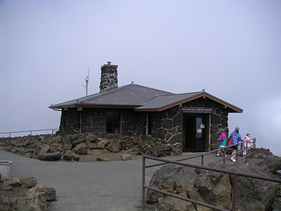
The landscape contains buildings, roads, a bridge, trails, walkways, steps, retaining walls, culverts, and other features from the 1933 to 1966 period of significance. Together, these create a cohesive assemblage that portrays NPS master planning from the 1930s and Mission 66 eras, showing the evolution of NPS style from rustic to modern. The naturalistic and modern character of the historic district is evident in the following landscape characteristics: natural systems and features, spatial organization, land use, buildings and structures, circulation, topography, and views and vistas, and archeological sites.
These characteristics and their surviving features continue to convey the historic character of the road as a scenic highway. The "naturalization" of road shoulders, rock cuts, and fill slopes, the construction details for box culverts, small culverts, the bridge, the careful alignment of the road to minimize its intrusion to the landscape and the curvilinear form that hugs the natural topography are charasteristics that exhibit the highway's naturalistic and rustic styles.
During the Mission 66 era, many areas along the Haleakalā Highway were updated to the new, simple, and geometric style of modern style architecture, with the most significant developments at Leleiwi Point, the Kalahaku Overlook, and the observatory at Red Hill.
The Haleakalā Highway was a major factor in enabling the development of Haleakalā National Park as a separate unit within the National Park Service. The road also provided the opportunity for scientific research in Maui, and its high elevation provides excellent atmospheric conditions for observatories and views of the summit.

NPS
Quick Facts
- Cultural Landscape Type: Designed
- National Register Significance Level: Local
- National Register Significance Criteria: A, C
- Period of Significance: 1933-1966
Landscape Links
- Cultural Landscapes Inventory park report
- Library of Congress: American Memory Collection
- Photo Album: Haleakala Highway (Flickr)
- NPGallery
- More about NPS Cultural Landscapes
Last updated: December 30, 2020
