Part of a series of articles titled Park Uses of Geologic Information.
Article
Geologic Maps in Action—Support Science

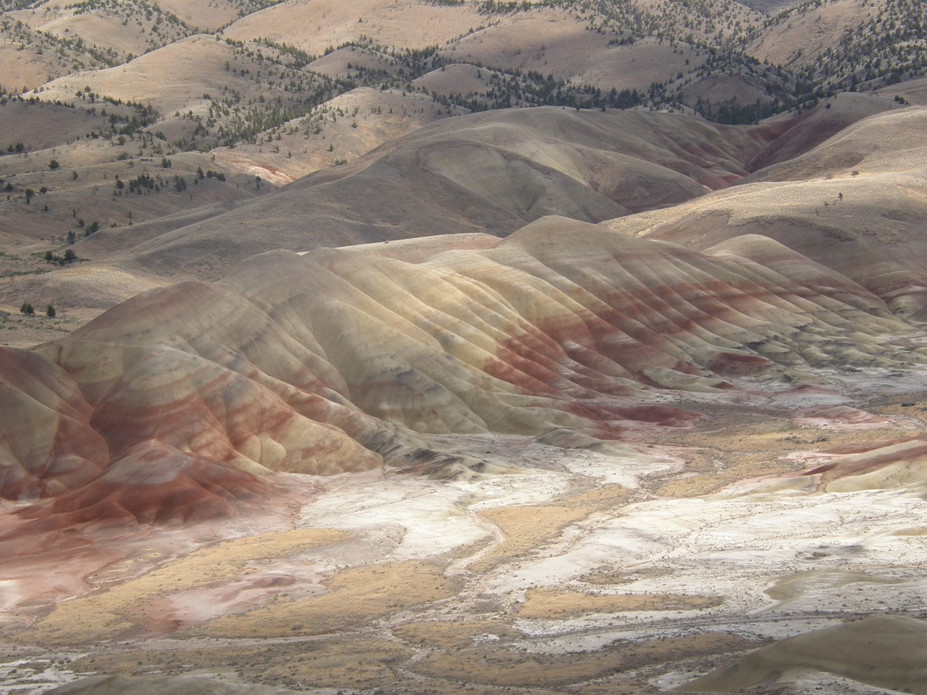
John Day Fossil Beds National Monument in Oregon is home to one of the planet’s most diverse and expansive fossil records of the past 65 million years. Park paleontologists are crafting a highly detailed geologic map to better correlate past and future fossil discoveries. The map is expected to increase understanding of the changes experienced over time by animals, plants, ecosystems, and climate during the Age of Mammals.


Left image
Geologic map showing portion of John Day Fossil beds.
Credit: NPS image by Geologic Resources Inventory.
Right image
Geologic layers exposed in canyon wall.
Credit: NPS photo by Jason Kenworthy
Related Links
- NPS—Jonh Day Fossil Beds National Monument, Oregon [Park Home] [Geodiversity Atlas]
- NPS—Fossils and Paleontology
- NPS—Geologic Resources Inventory
- NPS—Geology
Last updated: September 24, 2019
