Part of a series of articles titled Park Uses of Geologic Information.
Article
Geologic Maps in Action—Identify Hazards

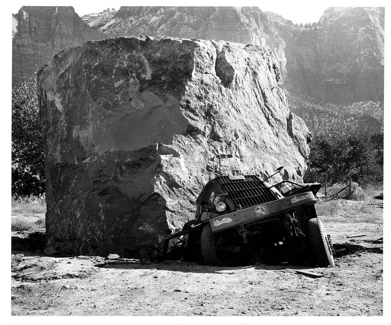
NPS photo.
The Navajo sandstone of Utah’s Zion National Park is responsible for much of the dramatic scenery that draws visitors to the site. This sandstone is also the source of dangerous rock falls. Large boulders routinely fall to the valley floor and cause damage. A geologic map is used to determine where these events are most likely to occur.


Left image
Geologic map showing rock-fall hazard ratings.
Credit: NPS image by Geologic Resources Inventory.
Right image
Steep cliffs of The Watchman Tower.
Credit: NPS photo.
Related Links
- NPS—Zion National Park, Utah [Park Home] [Geodiversity Atlas]
- NPS—Geohazards
- NPS—Geologic Resources Inventory
- NPS—Geology
Last updated: September 24, 2019
