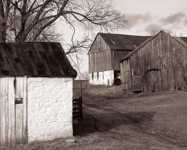
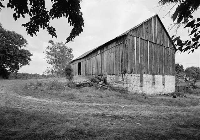
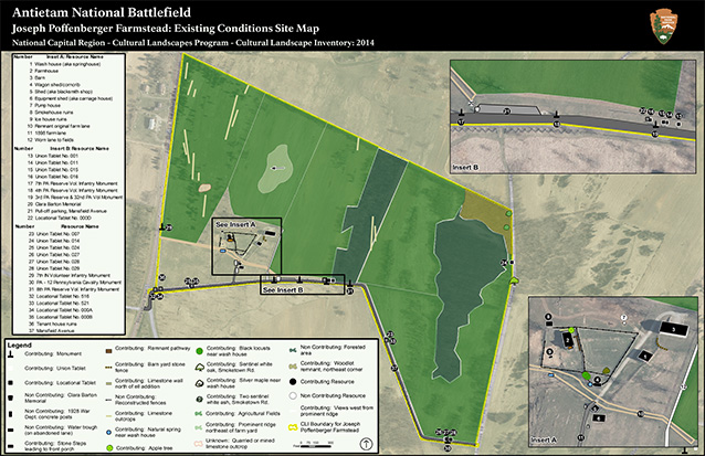
The Joseph Poffenberger Farmstead is located about two miles north of the town of Sharpsburg in Washington County, Maryland. The current property consists of nearly all of the land associated with the Joseph Poffenberger Farmstead as it existed at the time of the Battle of Antietam (Sharpsburg) on September 17, 1862.
During their occupation, the Union Army utilized most of Poffenberger’s store goods, wood products, and animals to keep the troops and horses fed and sheltered.

NPS
The current property, consisting of 120 acres, was acquired by the National Park Service from a private landowner in June of 2000. It is located within the boundaries of the Antietam National Battlefield, which encompass a total of 3288 acres.
The Joseph Poffenberger Farmstead landscape is significant in two distinct areas of history. In the area of military history (specifically between 1861 and 1865), the landscape played a role in the Battle of Antietam during the American Civil War. The property is also significant in conservation history for its involvement in early Civil War battlefield preservation efforts (1890-1910).
While the Antietam National Battlefield National Register nomination mentions the farmstead, it doesn't adequately document the cultural landscape. The Cultural Landscape Inventory for the Poffenberger Farmstead (see link below) describes the historic characteristics of the landscape that convey the significance and retain integrity.
The agricultural landscape of the Sharpsburg area served as the stage for the bloodiest day in the Civil War. Union troops spent the night on the Joseph Poffenberger farm before the ensuing battle. The next day, during the morning phase of the battle on September 17, 1862, the Union Army positioned artillery on a ridge line behind Joseph Poffenberger’s cluster of farm buildings.

Library of Congress (Survey HABS MD-966-A)
All through the day and successive weeks after the battle, the Poffenberger farmstead was occupied by the Union troops. The Union’s occupation had lasting effects on the community and on Joseph Poffenberger’s limited resources. Over the next one hundred and forty years, the Poffenberger property was maintained in much the same way as it was during the 1860s. The only major changes occurred in the 1880s when the Poffenbergers constructed an ell addition for the farmhouse, and in the 1890s when the War Department laid out a Battlefield tour road along the southern boundary. This led to the installation of several monuments by veteran groups in the early 1900s and construction of a new Poffenberger farm lane to the main cluster of buildings.
Today, the property exhibits a high degree of integrity to the Civil War and battlefield preservation eras. Most of the field patterns remain the same and are currently maintained through an agricultural leasing program. Although the farm buildings still reflect their historic arrangement and use, some of the buildings require stabilization to prevent their loss.

NPS / National Capital Region, Cultural Landscapes Program
Since the NPS purchased the property, park staff have directed their attention to assessing and stabilizing the pre-1862 buildings. To evoke a sense of the historic landscape, the park staff have also installed several miles of period fencing in key areas. The tour road and monuments continue to be maintained as key historic elements to the interpretation and commemoration of the battle.
Quick Facts
- Cultural Landscape Type: Vernacular
- National Register Significance Level: National
- National Register Significance Criteria: A
- Period of Significance: 1861-1865; 1890-1910
Landscape Links
Last updated: October 7, 2021
