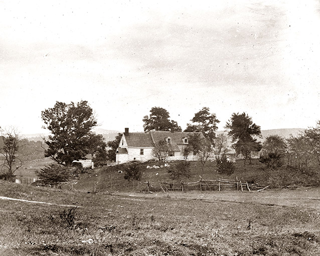
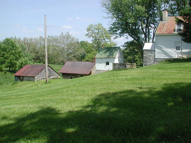
The Roulette Farmstead is located about one-half mile north of the town of Sharpsburg in Washington County, Maryland. The landscape consists of the entire 179.5 acre William Roulette Farmstead property as it existed at the time of the Battle of Antietam (Sharpsburg), which occurred on September 17, 1862.
The property continues to be farmed today through the National Park Service’s agricultural lease program. Visitors to Antietam National Battlefield can visualize the landscape essentially as it existed at the time of the Battle.

Alexander Gardner (Antietam National Park Archives)
Antietam National Battlefield was established in 1890. It came under the administration of the War Department from 1894 until 1933, when it was transferred to the National Park Service (Department of the Interior). The Roulette Farmstead property, located within the boundaries of the Antietam National Battlefield, was acquired by the National Park Service from a private landowner in 1998.
The Roulette Farmstead is a component cultural landscape of the larger battlefield cultural landscape at Antietam. The historic significance of the landscape is associated with three distinct areas and periods of history. Primarily, it is associated with military history during the period 1861-1865, due to its involvement in the Civil War Battle of Antietam on September 17, 1862.

NPS
The property also reflects conservation history and early Civil War battlefield preservation efforts (1890-1933), evident in the numerous monuments, markers, and tour roads on the landscape.
Finally, the Roulette Farmstead is significant in agricultural history and possesses a high level of integrity as an intact farm complex of of the late 1700s/early 1800s, associated with the agricultural history of western Maryland during the period 1761-1861. Its condition is largely due to battlefield preservation efforts that were aimed at preserving the rural landscape as it existed on the eve of the battle.
Quick Facts
- Cultural Landscape Type: Vernacular
- National Register Significance Level: National
- National Register Significance Criteria: A
- Period of Significance: 1761-1933
Landscape Links
Last updated: October 7, 2021
