Fort Hunt Park, located south of Washington, D.C. in Virginia, is part of the George Washington Memorial Parkway. The land was acquired by the federal government in 1893 for development as a Coastal Defense fortification. In the period between the First and Second World Wars, when military activity ceased, a Civilian Conservation Camp was stationed here. Crews carried out numerous work projects in the Washington area, including at least one major landscaping project at Fort Hunt.
In addition to features associated with its use as a military installation, Fort Hunt contains other evidence of historic land use. This includes vegetation and circulation patterns reflecting various periods of landscape history.

NPS
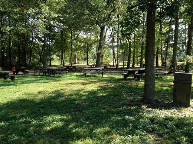
Fort Park is a recreational area in Fairfax County, Virginia, 11.5 miles south of Washington, D.C. and 2.5 miles north of Mount Vernon. The park, under the administration of the George Washington Memorial Parkway unit of the National Park System, is on the west side of Mount Vernon Memorial Highway. A loop road encircles the park's central area, which is composed of grass-covered picnic areas and playing fields. A Civilian Conservation Corps-era plan suggests that the park was to have been treated as a picturesque landscape, with an overall cover of woodland occassionally breaking into open fields.

NPS/Museum Resource Center
The period of historic significance for Fort Hunt Park begins in 1893, when land was first acquired by the federal government for use as a Coastal Defense fortification. It extends to 1942, when the Civilian Conservation Corps (CCC) was disbanded and the camp that had been station at the fort was removed. The uses of Fort Hunt during the 1890s to 1942 contribute to an understanding of U.S. history, collectively representing distinct changes in American military, economic, and social life.

NPS/Museum Resource Center
Fort Hunt was part of an improved sytem of coastal defenses built throughout the United States in the 1890s following recommendations of the Endicott Board. The Endicott Board had been convened to assess the changing needs of modern naval warfare and the role that the United States played as an international power. It was a companion fortification to Fort Washington, built earlier on the opposite shore of the Potomac River in Maryland. Both forts were placed at a point where the river channel narrows, several miles south of Washington, D.C., to help protect the city from enemy vessels.
Six structures that were built during this period still stand, including concrete gun emplacements, a concrete battery commander's station, and a wooden single-family dwelling. Aside from the dwelling, these reflect the modern use of reinforced concrete. The obsolescence of these batteries less than 30 years after their construction reflects the rapid changes of modern warfare.
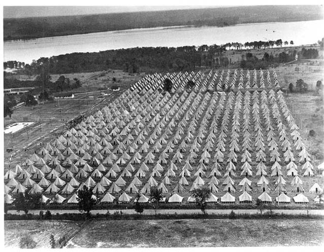
Military activity at Fort Hunt ceased between WWI and WWII. In the 1930s, CCC Camp NP-6 was stationed at the fort, and the work crews carried out projects around the Washington area. At Fort Hunt, they excavated a lake bed, probably to drain an existing swamp and also to create an attractive picnic area. The lake bed is still a prominent topographical features within the woodland of Picnic Area F.
An NPS Model Laboratory was set up at Fort Hunt, and about twenty of the CCC men were employed under NPS personnel to build relief maps for Eastern parks. The Fort Hunt camp was regarded as a “model facility,” and it occasionally played host to illustrious foreign visitors.
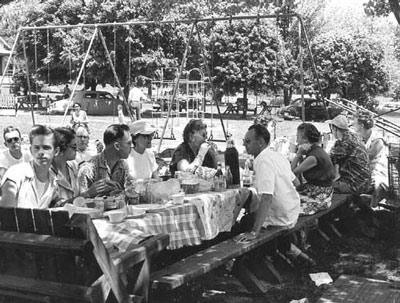
In the early 1960s, rehabilitation projects funded through the National Park Service’s Mission 66 program led to improvements of buildings, roads, parking, picnic facilities, and landscaping.
Quick Facts
- Cultural Landscape Type: Historic Site
- National Register Significance Level: National
- National Register Significance Criteria: A
- Period of Significance: 1893-1942
Landscape Links
Last updated: October 8, 2021
