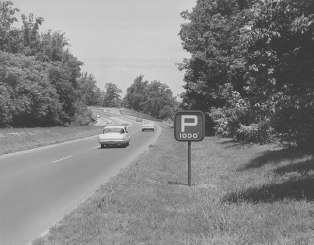
The George Washington Parkway contains a blend of natural components and designed landscape features, experienced as a four-lane roadway divided by a median. The parkway also represents a passage into a history of planning in Washington, D.C., early 1950s engineering and transportation innovations, an example of well-designed landscape architecture, and a landscape of historical and commemorative associations with George Washington.
In the mid-1930s, the underlying principle of parkway development was that the road is only one part of the entire project. National Parkways and National Parks shared ideals of resource protection, recreational development, and scenic beauty.

NPS/Museum Resource Center
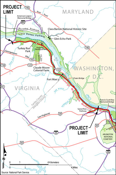
The north section of George Washington Memorial Parkway, extending along the Potomac River from the Sprout Run Parkway intersection to the Capital Beltway, is a cultural landscape associated with the broader planning of Washington, D.C. and with engineering and transportation innovatons of the 1950s.

NPS GIS 2008
It is a component landscape of the George Washington Memorial Parkway, a landscaped road stretching 38.3 miles along the Potomac River shore with sections in Virginia, the District of Columbia, and Maryland. The southern portion of this roadway, known historically as the Mount Vernon Memorial Highway, is the oldest segment. A section of the George Washington Memorial Parkway located to the north of D.C., along the Maryland side of the Potomac River from the Chain Bridge in Washington to MacArthur Boulevard, is referred to as the Clara Barton Parkway.
This specific landscape runs parallel to the Clara Barton Parkway on the Virginia side of the river and extends roughly 7.5 miles north to the Capital Beltway/Interstate 495.
The concept of a roadway from Washington, D.C. to Mount Vernon first appeared as early as 1888, and it was constructed from 1928 to 1932. The southern section of the parkway was developed as a memorial to George Washington.
The Mount Vernon Memorial Highway served as inspiration for the Capper-Cramton Act signed by President Hoover in 1930. This legislation authorized funds for an expanded parkway along the Potomac River that would become known as the George Washington Memorial Parkway. By 1963, the last bridge of the parkway’s north section was complete.

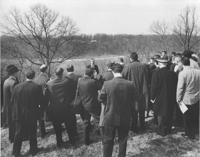
NPS/Abbie Rowe (Museum Resource Center, "George Washington Memorial Parkway," DOI 9065-0)
The Capper-Cramton Act gave special attention to views and adjacent land. As a result, parkway planners devoted special care to the preservation of historic vistas through the management of vegetation and small-scale features along the road. Bridges, natural systems, and circulation features all contribute to the framing of vistas along the corridor, although some of these views have been compromised by the recent growth of vegetation. The Route 123 overpass was the region’s first pre-stressed concrete girder bridge, while the cloverleaf design used for the Route 123 interchange was highly innovative construction in the 1950s. The utilization of advanced engineering was an important theme throughout the construction of this northern portion of the George Washington Memorial Parkway.
The original portion of the Parkway, the Mount Vernon Memorial Highway, was listed in the National Register of Historic Places in 1981. The section of parkway north of Memorial Bridge, including this component landscape and the Clara Barton Parkway north to the Capital Beltway, was approved for listing in the National Register in 1995, as part of a multiple property nomination entitled “Parkways of the National Capital Region.”

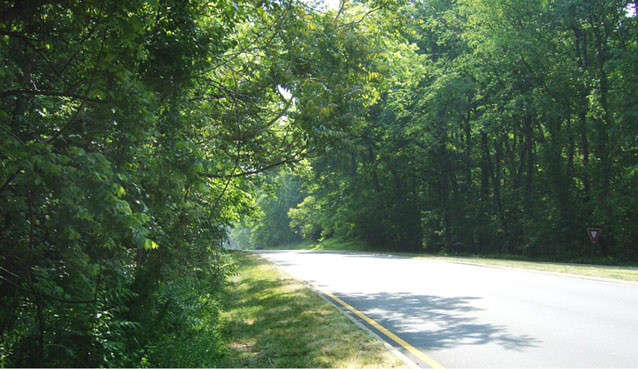
NPS
The George Washington Memorial Parkway – North component cultural landscape is historically significant for its association with the broader planning of Washington, D.C., for its parkway engineering, and for its transportation innovations of the 1950s. It is also notable for its historical and commemorative associations with George Washington. Lastly, this section of the parkway is recognized for its well-designed landscape architecture.
The period of significance for the component cultural landscape is 1930 to 1963, beginning with the commitment of the federal government to authorize funding through the Capper-Cramton Act, and ending with the completion of the last bridge of the parkway at Dead Run. Although certain alterations have recently been made in order to meet safety guidelines, the parkway’s north section retains a high level of integrity to its historic period of significance.
Since its earliest days, the George Washington Memorial Parkway has been perceived as a scenic transportation route, as well as a recreational and environmental conservation area. Today, the parkway serves as a major transportation artery in the region and a scenic, designed cultural landscape.
Quick Facts
- Cultural Landscape Type: Designed
- National Register Significance Level: National
- National Register Significance Criteria: B, C
- Period of Significance: 1930-1963
Landscape Links
Last updated: October 8, 2021
