The D.R. Miller Homestead, located within the Antietam National Battlefield boundary, is significant for association with the Civil War Battle of Antietam, battlefield preservation efforts, and agricultural history.
"...the slain lay in row precisely as they had stood in their ranks a few moments before. It was never my fortune to witness a more bloody, dismal battlefield." Union Major General Joseph Hooker, in Antietam National Battlefield Historical Handbook, Frederick Tilberg (1960)

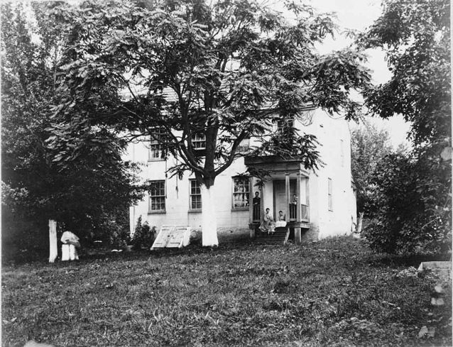
Library of Congress, Civil War Photograph Collection (91793773)

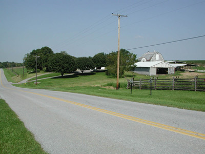
NPS
The D. R. Miller Farmstead is situated approximately one and one-half miles north of the Town of Sharpsburg in Washington County, Maryland, and consists of 141.41 acres of the property constituting the D. R. Miller Farmstead as it existed at the time of the Battle of Antietam (Sharpsburg), which occurred on September 17, 1862.
The property, within the boundary of Antietam National Battlefield, was donated to the National Park Service in 1990 by a non-profit conservation organization. Antietam National Battlefield was established in 1890 and came under the administration of the War Department from 1894 until it was transferred to the National Park Service in 1933.
The D. R. Miller Farmstead component landscape is significant in three distinct areas and periods of history. Its primary significance in the area of military history (1861-1865) results from its involvement with the Battle of Antietam during the Civil War.
The property is also significant in the area of conservation for its association with early Civil War battlefield preservation efforts (1890-1964) and the numerous monuments, markers, and tour roads that are evidence of this movement.
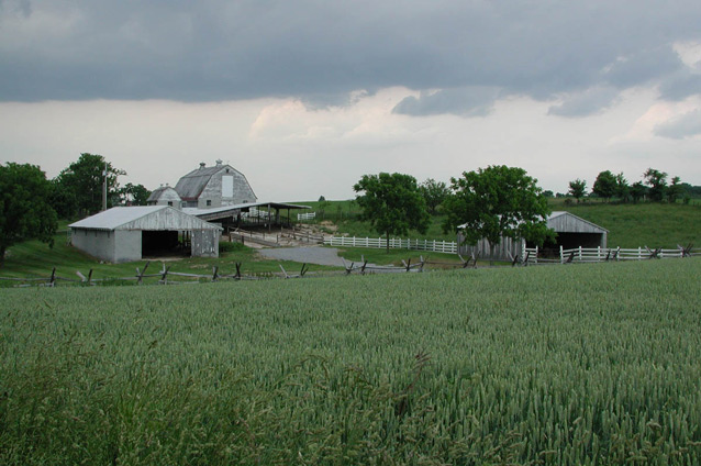
Finally, the farmstead is significant in the area of agricultural history as a late eighteenth/early nineteenth century agricultural landscape (1799-1861), whose landscape integrity is largely due to the battlefield preservation efforts aimed at preserving the rural landscape as it existed on the eve of the battle. The current scene at Antietam is much as Major George Breckenridge Davis hoped it would be when he proposed the Antietam Plan of battlefield preservation. When testifying before the House Committee on Military Affairs in 1902, Davis stated, “If it is the purpose of Congress to perpetuate this field in the condition in which it was when the battle was fought, it should undertake to perpetuate an agricultural community….That was its condition in 1862, and that is the condition in which it should be preserved.”

NPS
The farmhouse that still stands on the property was likely built in 1799. David R. Miller purchased the property at a public estate sale in 1844. Typical of small farms during that time period, D. R. Miller and his wife, Margaret, raised at least thirteen children at their farmstead. The Millers lived on the property as tenants and farmed it until 1886, when Miller transfered the property, retired from farming, and moved to nearby Sharpsburg.
Although battlefield preservation efforts began soon after the end of the Civil War, the land aquisition plan adopted at Antietam allowed the Miller Farmstead to remain in private hands for 125 years after the battle's end. Still, federal activities played an important role in shaping the landscape with the addition of tour roads and interpretive markers. The farmstead itself was a site of activity during the Battle of Antietam, with troops stretched out between the woodlots on the property and positioned in Miller's cornfield.
Quick Facts
- Cultural Landscape Type: Vernacular
- National Register Significance Level: Local
- National Register Significance Criteria: A, B
- Period of Significance: 1880-1952, 1890-1964, 1799-1861
Landscape Links
Last updated: January 13, 2026
