Last updated: October 30, 2020
Article
Water Quality | A Look at the Water Quality of White Clay Creek
|
Wild and Scenic River |
Reporting Cycle |
Miles by Water Quality Classification |
Listed Impairments |
|
White Clay Creek |
2016 |
Good: 0 |
Mercury; nutrients; organic enrichment/low dissolved oxygen; pathogens; siltation; suspended solids; water/flow variability; habitat alterations; impaired biota; PCBs; pesticides; dieldrin |
Wild and Scenic Rivers, like all rivers, are protected under the Clean Water Act, which requires states to establish water quality standards for waters within their jurisdiction. Every two years, states are required to report whether these standards are being met. In 2018, NPS compiled information from the most recent state assessments to identify the water quality status of all designated Wild and Scenic Rivers. Based on the information available at the time, NPS determined that roughly 44% of all Wild and Scenic River miles did not meet their water quality standards, with temperature, mercury, and metals being the most common causes of impairment. Want to learn more about Wild and Scenic River water quality? Read the full report found on the rivers.gov website here.
Understanding the water quality of any river begins with monitoring and sampling to collect data on water quality parameters. Sometimes these data remain unanalyzed, and underutilized. The White Clay Creek Wild and Scenic River is fortunate to have expertise in data analysis from retired engineer Rob Tuttle.

He readily admits that he can’t stop engineering even after retirement, a fact that sometimes frustrates his wife! “When you retire you want to give something back,” said Rob. “It seemed like water quality was a good area to work in; you can’t argue with the need to have good water.”
After retiring from working on producing medical equipment, Rob switched from monitoring blood streams to monitoring water streams. He has volunteered with the Delaware Nature Society, The Nature Conservancy, and for the White Clay. Rob got into water quality after taking a hydrology and GIS course at the University of Delaware. Rob credits this class he took four years ago as shifting his interest. Since then, he attends workshops at Stroud Water Research Center in PA and any put on by county and state officials responsible for the environment and water quality.
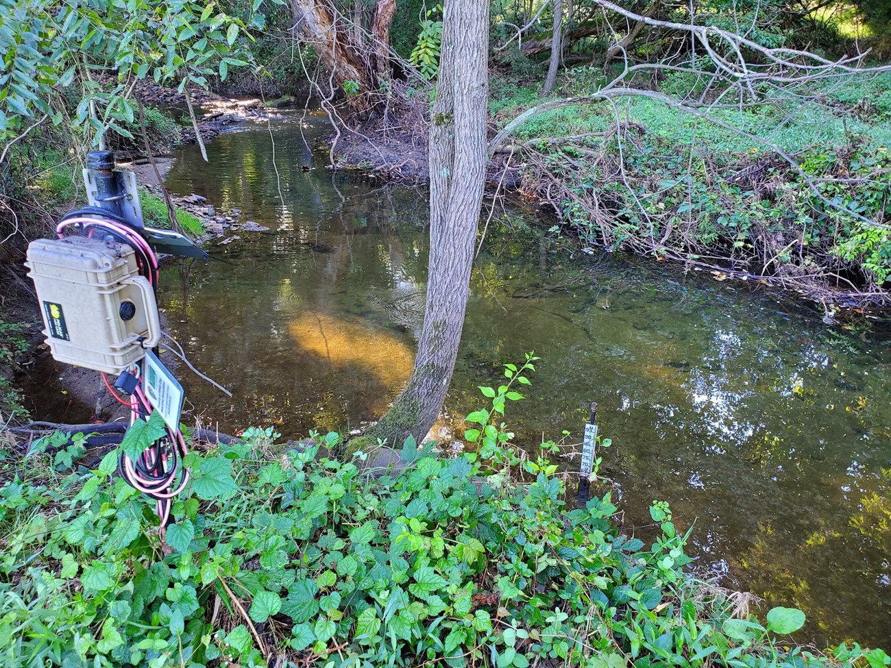
In the past, Rob has worked on taking samples, but has recently been focused on creating an automatic stream sampler for storm events as well as producing reports on water quality using R code.
Rob has created R code specifically for analyzing the water quality data. Rob uses this information to write up water quality reports, and is willing to make his code available. For these reports he produces hydrographs, showing how rapidly the stream rises and falls, and data analysis on how much particulate matter is being transmitted during storm events. This allows River Managers, such as Shane Morgan, to take these reports to Committee meetings and plan management, such as identifying areas for Catch the Rain programs and where funding should focus on mitigation.
