Last updated: August 29, 2025
Article
Secrets of the River Styx: Tracking an Underground Waterway
America’s only congressionally designated underground wild and scenic river is notoriously hard to study. A team of scientists recently figured out a way.
About this article

This article was originally published in the "In Brief" section of Park Science magazine, Volume 39, Number 2, Summer 2025 (August 29, 2025).
NPS / Rob Parenti
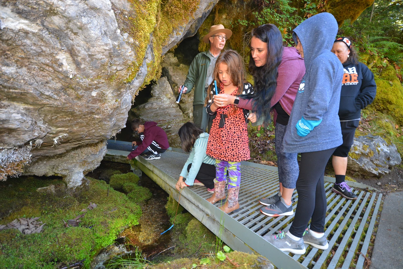
When visitors go to Oregon Caves National Monument and Preserve, they give up the familiarity of open skies for an adventure under a rocky ceiling. They wind through narrow, water-filled passageways and gaze at grand formations that inspired the park’s nickname: the “marble halls of Oregon.” Under the paths they walk, the River Styx flows. It’s the only underground waterway designated by Congress as a wild and scenic river. Yet despite its status and popularity, the river has remained mysterious.
To shine a light on this underground enigma, scientists from the National Park Service and the U.S. Geological Survey conducted a first-of-its-kind dye trace study. Our recently released data give insights on the origin, flow paths, and groundwater recharge areas of the River Styx. “Our results,” said hydrogeologist Ben Miller, who planned and carried out the study with park staff, “reveal that the River Styx is hydrologically connected to multiple small streams in the upper Cave Creek watershed.” Understanding this connection and the river’s origins is vital for communities living downstream. It’s also crucial for ecological research, as the river passes through a highly biodiverse region that’s home to animals found only there.
Following Hidden Paths
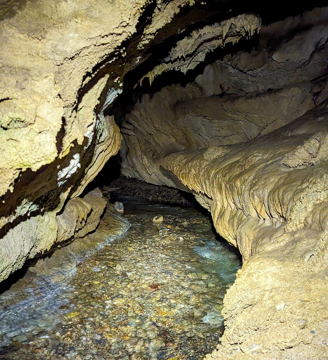
Historically, the path of the River Styx has been elusive. It periodically appears and disappears through cracks and crevices too small for people to enter. Previous internal studies, including a dye trace from 1999, yielded ambiguous results. To avoid this, the research team did the dye tracing study in late 2021 during low flow and in spring 2024 during peak snowmelt. This timing ensured that the water levels in the surface streams and the cave’s streams would be optimal for tracking the dye.
The path of the River Styx has been elusive. It periodically appears and disappears through cracks and crevices too small for people to enter.
NPS / Sierra Heimel
We first did a hydrologic inventory, identifying 42 suitable monitoring sites like springs, seeps, cave streams, and surface streams. This helped us identify all possible waterways that could be hydrologically connected to the River Styx.
When designing the study, we sought a suitable method to detect the dyes as they moved through the system. One option would be tracking the dyes visually. But dye tracing with the naked eye has drawbacks. “By the time the dye has passed through the system,” Miller said, “it has become diluted and is actually not able to be seen.”
These dyes are like non-toxic food coloring, except they glow when exposed to high-intensity light.
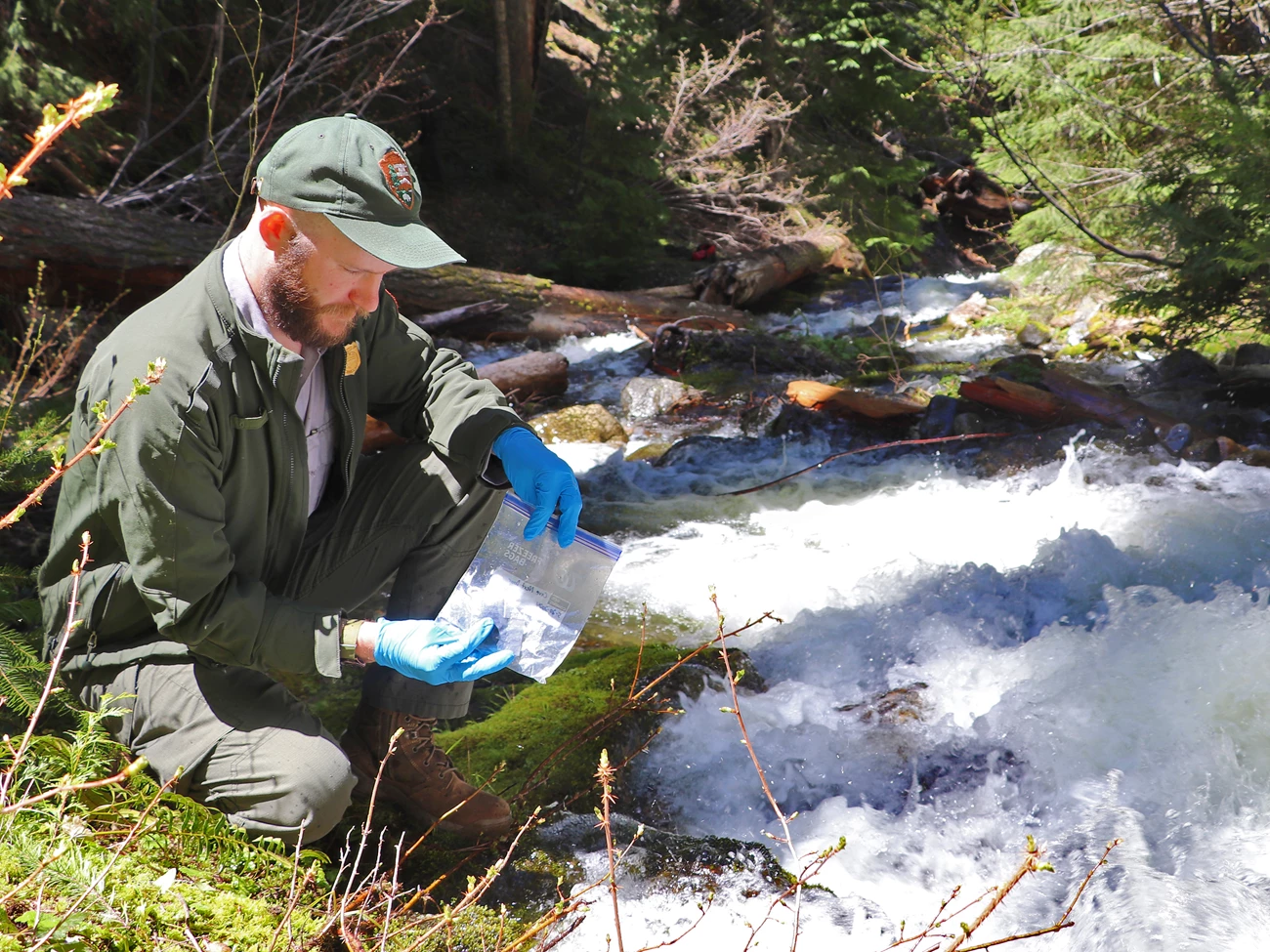
To overcome this, we placed charcoal packets at strategic monitoring locations in the watershed. The charcoal packets were able to detect small concentrations of the dyes, whether or not we could see them. We then “injected” (poured) fluorescent dyes into the waterways. These dyes are like non-toxic food coloring, except they glow when exposed to high-intensity light. Different dyes fluoresce differently, enabling us to pinpoint the routes taken by the water over time.
NPS / Sierra Heimel
We focused on surface waterways potentially connected to the cave’s water system and the River Styx. These included elusive “sinking streams” that completely disappear into the soil and marble bedrock. After the initial injections, the team retrieved charcoal packets every 12 hours to maximize opportunities for noting the arrival of the dyes.
Plotting the River’s Recharge Areas
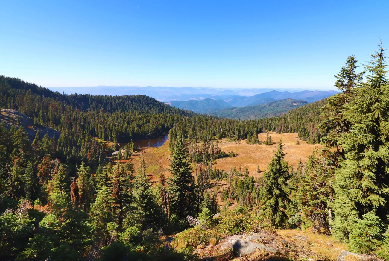
We used dye concentrations at the monitoring sites to determine the connections between surface water and groundwater. When plotted on a map, the data delineated the groundwater recharge area for the section of the River Styx that runs through Oregon Caves. It also showed the groundwater recharge area for Panther Creek, which runs through another nearby cave. The Oregon Caves recharge area is 0.51 square miles, primarily in the upper portions of the Cave Creek watershed. The other cave's recharge area is 0.69 square miles, predominantly in the upper Panther Creek drainage basin.
The data revealed three previously unknown areas where the river resurfaces as seeps and springs below Oregon Caves.
Before we began this study, we thought that the River Styx may be flowing through both Oregon Caves and the nearby cave. But even though Oregon Caves and this neighboring cave are only half a mile apart, we found no hydrologic connection between them. The data also revealed three previously unknown areas where the river resurfaces as seeps and springs below Oregon Caves.
NPS / Ivan Ekblom
We expected the dye to take hours to travel from the injection sites to the monitoring locations. But several of the traces took weeks to make that journey. The concentration of dyes increased for months in some locations, showing that water is retained there. This could be caused by subsurface geology, where rocks and layers of different porosity create discontinuous flow paths.
Crucial Connections
A key revelation of this study was that Cave Creek, a sinking stream, is connected to the subterranean River Styx. Understanding this connectivity is pivotal for effective waterway management, because Cave Creek affects the entire watershed. It nourishes downstream ecosystems, including salmon habitat. It provides water to communities in the Illinois Valley. The results also provide crucial information about the surface area where water percolates into the cave system and eventually into the River Styx. Knowing this is important for balancing surface activities with potential impacts on the cave ecosystem and water resources.
There’s still much to explore at Oregon Caves. Large volumes of water appear to contribute to the River Styx from inaccessible sections of the cave system.
There’s still much to explore at Oregon Caves. Large volumes of water appear to contribute to the River Styx from inaccessible sections of the cave system. Some water origins remain unknown. This study answers some questions about the River Styx. But it also highlights the potential for further discoveries about the way water moves in this mysterious region.
About the author
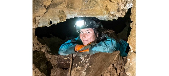
Sierra Heimel is a geologist and cave specialist with the National Park Service at Oregon Caves National Monument and Preserve. Photo © Michael Stark.Cite this article
Heimel, Sierra. 2025. “Secrets of the River Styx: Tracking an Underground Waterway.” Park Science 39 (2). August 29, 2025. https://www.nps.gov/articles/000/psv39n2_secrets-of-the-river-styx-tracking-an-underground-waterway.htm
