Last updated: November 13, 2023
Article
Old Spanish Trail: Colorado Western Slope Itinerary

NPS Image
Explore the Old Spanish Trail on the Western Slope
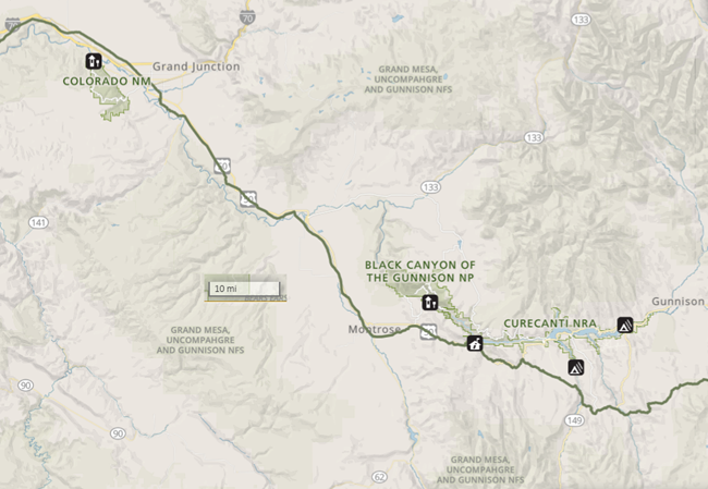
Planning a trip to the western slope? As you drive on Highway 50 between Black Canyon of the Gunnison National Park and Grand Junction, Colorado, you will be traveling near the Old Spanish Trail. The modern roadway was constructed over or near the national historic trail, giving you a unique opportunity to take a view back in time!
Do you want to learn more? Would you like to hike on the Old Spanish Trail? Check out these trail sites:
(Please contact site managers before visiting for current information on hours, conditions, etc.)
