Last updated: December 21, 2023
Article
Nutuvukti Lake and Fen

Nutuvukti Lake is one of the most scenic and interesting places in Gates of the Arctic National Park and Preserve. Nutuvukti Lake lies in a trough between two mountain ridges covered with dwarf subarctic spruce forest and alpine tundra. Six miles long, it is smaller than its more famous neighbor, Walker Lake, but still one of the largest lakes in northern Alaska and home to lake trout, arctic grayling, arctic char, northern pike, and whitefish.

What is a Fen?
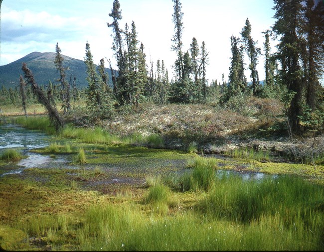
A fen is a type of wetland where the ground is composed of peat, partly decomposed plants. The spongy mass of peat is saturated with water and the vegetation is mostly grass-like sedges, usually with some moss and low shrubs. The water in a fen is not strongly acidic, because it originates from groundwater that contains dissolved mineral nutrients. In a fen the water seeps slowly downhill in a wide sheet, like a "River of Grass," as our most famous fen--the Florida Everglades--is sometimes called.


Permafrost and Water Flow
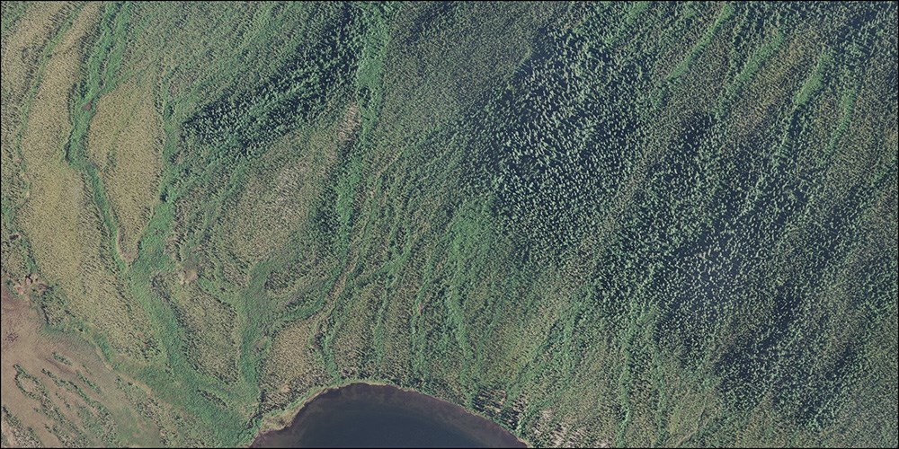
Most of the landscape around Nutuvukti Lake is underlain by permafrost--ground that stays frozen year-round. Only the top foot or two thaws each summer, so water from snowmelt and summer rains flows downslope quickly over the permafrost and never soaks deeply into the ground. As it flow downslope it concentrates into "water tracks," which are visible as green lines of vegetation. The permafrost contains ice bodies, and if it thaws the ground subsides to form pits and ponds.

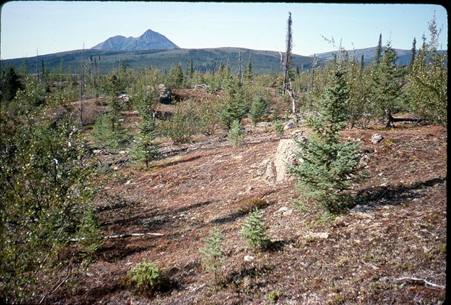
Just north of the Nutuvukti Fen is an area of low hills and rocky soil, called a glacial moraine, that marks the end of a glacier during the last ice age. This moraine is one of the few places on this landscape that lacks permafrost, which allows water to soak deeply into the ground and move underground into the fen and then on to the lake.

The law that established Gates of the Arctic National Park and Preserve provides for a transportation corridor to access the Ambler Mining District. The State of Alaska is considering a road route that passes near Nutuvukti Lake. There is an supplemental environmental impact statement nearing completion that provides recommendations for the road.
