Last updated: February 25, 2024
Article
National Historic Trails Digital Interpretive Media Opportunities
The National Trails Office Regions 6, 7, 8, (NTIR) offers a variety of interpretive digital media opportunities to help share your trail site and history with the public.
Most opportunities are hosted on the National Park Service trail websites NPS.gov, and the National Park Service (NPS) app.
If you have any questions, please contact the National Trails Office, Regions 6, 7, 8.

NPS Image
Places Asset
For a trail site to be featured on NPS.gov and the NPS app it requires a Places asset. A National Historic Trails Places asset is a type of webpage on NPS.gov that is created to share about a trail site.
Each trail site has only one Places asset and that information is shared on both NPS.gov and the NPS app.
NPS Image
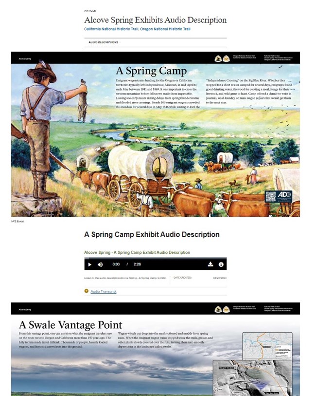
Exhibits with Audio Description
When creating a wayside exhibit (interpretive panel/exhibit) there is a legal requirement that the exhibit is fully accessible (Section 508). Part of this process is creating an audio description of the exhibit so people can hear the exhibit instead of just seeing it. This involves reading the text, describing the images, and more, in order to create an equivalent experience.
The National Trails Office, Regions 6, 7, 8 accomplishes this by creating audio description files (audio files) for all physical exhibits.
The audio description can be accessed by:
1) Tactile QR code on the physical exhibit
2) NPS.gov (trail websites)
3) Places asset (webpage) for the trail site
4) NPS app
NPS Image
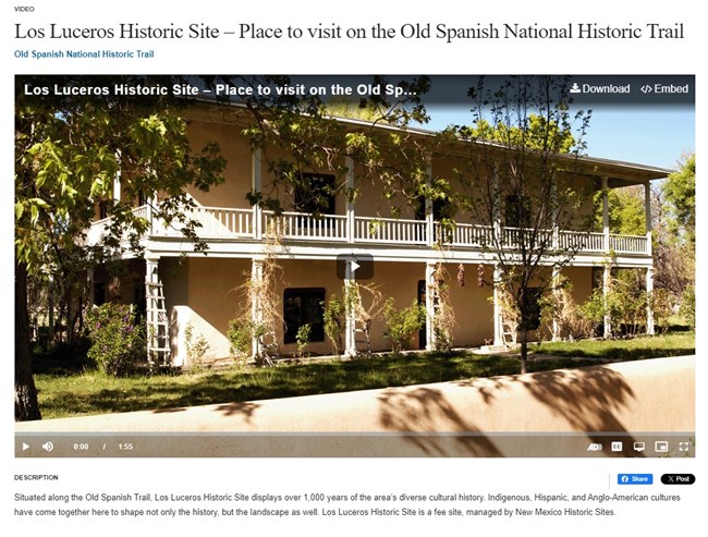
Videos
Videos provide an opportunity to tell a story about your trail site or significant trail history. Videos are created with closed captions and audio description, enabling them to be experienced by the widest audience. Videos are shared on the trail websites, NPS.gov.
NPS Image
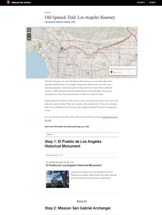
Trip Itineraries
People are often looking for day or multi-day trips that travel the trail. Having your trail site included in a digital trip itinerary for your area is a great way for people to find your site and to connect with similar sites in the area.
A Trip Itinerary is a webpage on the NPS.gov (National Park Service) trail websites. State by State site itineraries are also found on the NPS app.
The first step to include your site in a trip itinerary is a Places asset. Once this has been completed interpretive staff will work to identify what trip itinerary or itineraries best match your site.
NPS Image
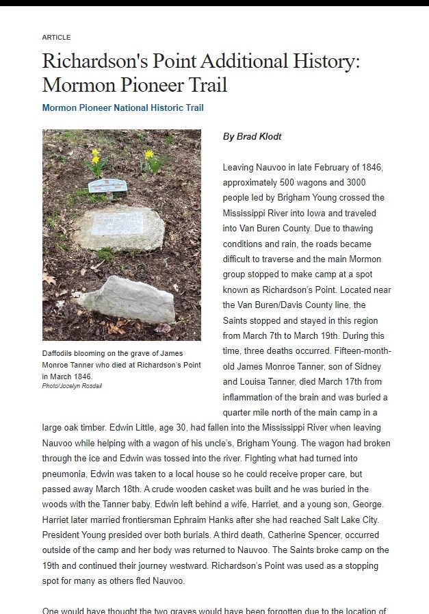
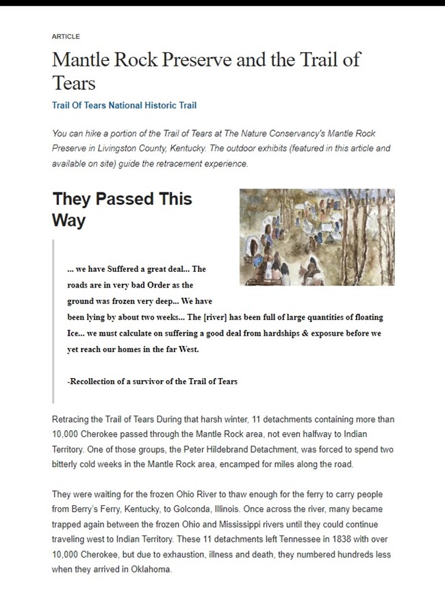
Historical Articles
Take a deeper dive into the historical significance of your site! Creating an article about your site's history is a great way to share additional information beyond the Places asset. Sometimes it can't all be said in 3000 characters! A historical article is a webpage on NPS.gov. and includes, text, images, and other digital media elements.
NPS Image
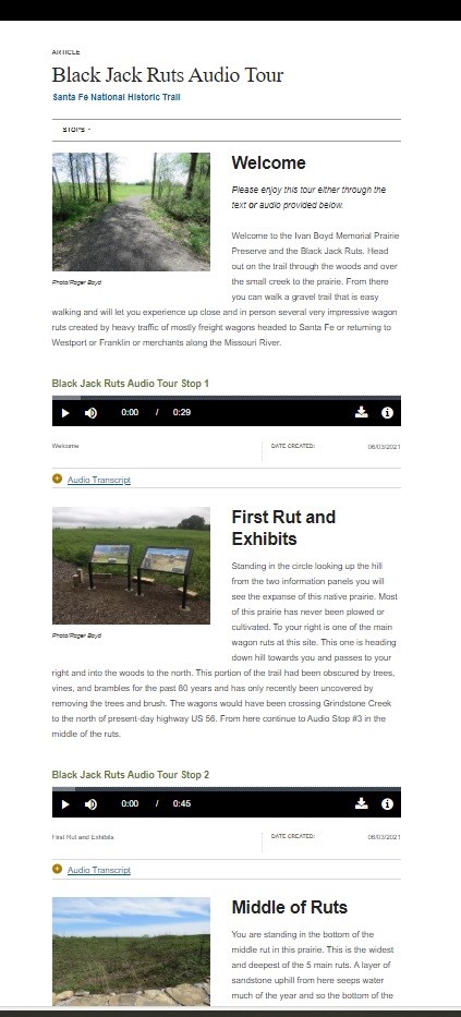
Guided Walking Tours
Does your site have a walking tour to visit multiple trail sites or significant trail features? A Guided Walking Tour is a digital interpretive media product that involves the creation of mutliple webpages, audio files, static images (photographs), location information and NPS app specific required information.
The tours are available on both the NPS app and NPS.gov.
You can also find the NPS app version of the guided walking tour by vising the Santa Fe National Historic Trail on the NPS app, and clicking, guided tours.
Note: not every site will be appropriate for a Guided Walking Tour, which are time intensive to produce. Please contact the National Trails Office, Regions 6, 7, 8 for more information.
NPS Image
Digital Exhibits
Are you interested in sharing more about the history of your site? Are there features, artifacts, or themes that would be best represented using a variety of digital media? Digital Exhibits are webpages on NPS.gov that use digital multi-media to share this type of information.
Traditional media, like a wayside exhibit or panel, will serve the public who can physically visit your site. Digital Exhibits will reach a world-wide audience and share your site information with visitors who may not be able to physically visit. They are also built accessibly so they are available to all who are interested in learning.
NPS Image
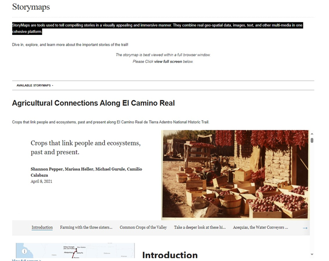
StoryMaps
StoryMaps are tools used to tell compelling stories in a visually appealing and immersive manner. They combine real geo-spatial data, images, text, and other multi-media in one cohesive platform. StoryMaps are featured on NPS.gov.
