Part of a series of articles titled Ford Island Battleship Row Preservation .
Article
Ford Island CPO Bungalows Neighborhood and Battleship Row Cultural Landscape
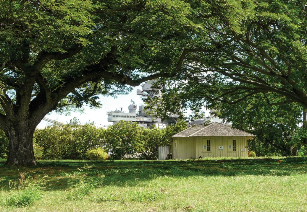
NPS
Overview
The Ford Island CPO (Chief Petty Officer's) Bungalows Neighborhood and Battleship Row is a part of Pearl Harbor National Memorial, which is located within Joint Base Pearl Harbor-Hickam on the island of O’ahu in Hawai’i.
The site is a tangible reminder of the Japanese attack on Pearl Harbor on December 7, 1941. It is also an early example of a twentieth-century U.S. Navy installation from 1902 and was pivotal in the rise of U.S. Naval power in the Pacific.
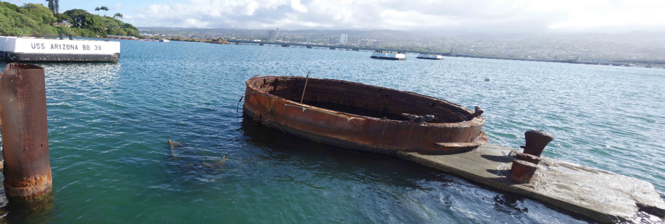
NPS
Landscape History
Also known as Pu‘uloa Lagoon, Pearl Harbor is a naturally protected estuary on the southern coast of O’ahu. The estuary is comprised of a narrow channel to the sea, three lochs (West Loch, Middle Loch and East Loch) divided by two peninsulas (Waipi‘o and Pearl City), and an islet in the center of the East Loch, called Ford Island. The area was once a rich center for land and sea-based farming, with substantial wetland fields and fishponds.
Ford Island was known to the early Hawaiians as Moku'ume'ume, as well as the “Island of Attraction” and the “Island of Strife.” The site was also considered desirable to the U.S. Navy due its strategic location in the Pacific. As a result of resistance from land owners to sell their property for the purpose of the naval station, the land was condemned and purchased through the eminent domain process.
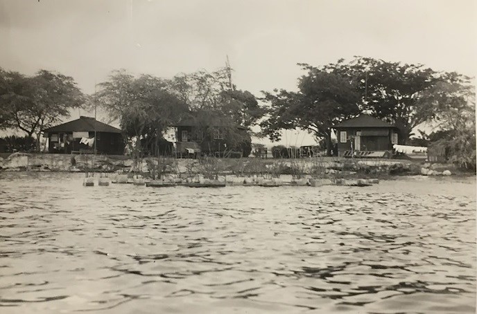
NPS (14th Naval District Photos, Pearl Harbor National Memorial, #11314)
As the base expanded, space on Ford Island became more limited. Fill from the dredging was incrementally added to shallow shoreline areas, creating additional acreage for new facilities. The Chief Petty Officer's bungalow neighborhood was constructed between 1923 and 1938 to provide housing for the military personnel who supported the operation of the base.
In the 1930s, mooring quays were constructed in these deep offshore areas to secure battleships along Battleship Row.
The air attack on Pear Harbor by Japanese bombers began at 7:55 am on December 7, 1941. Many U.S. Navy families occupying the CPO bungalows at that time reportedly suspected nothing out of the ordinary when they heard and felt the tremor of aircraft engines overhead. While many lives were lost and vessels were either sunk or seriously damaged during the attack, there was no serious material damage to the CPO bungalow area. The buildings experienced some minor damage as a result of their proximity to explosions and fires along Battleship Row.
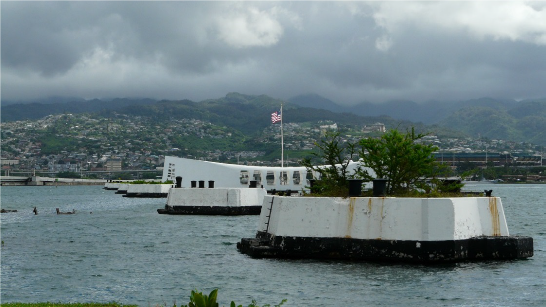
NPS
Following the attack, repairs and improvements were made to Ford Island, including the CPO bungalows. The USS Arizona Memorial was dedicated on Memorial Day in 1962. The neighborhood continued to serve as housing for the Navy. Pearl Harbor National Memorial was established by Presidential Proclamation 8327, issued by George W. Bush on December 5, 2008.
CPO Bungalows Neighborhood Today
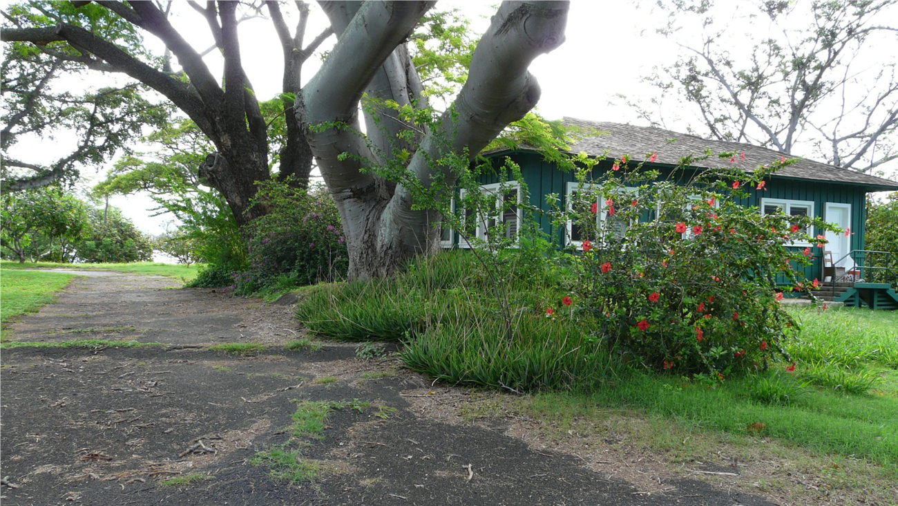
Today, the history and significance of the site is conveyed through features of the landscape, which include five historic CPO bungalows, six mooring quays that constituted part of Battleship Row, the USS Arizona, and the USS Arizona and USS Oklahoma memorials. The Ford Island Chief Petty Officer's bungalows are the only remaining historic residential development at Pearl Harbor built for enlisted of U.S. Navy personnel.
NPS
It is also significant for representing a use of Hawaiʻi’s architectural style as a solution for low-cost housing. It is notable example of how location and design of buildings and open spaces were used to reflect hierarchy in rank.
Landscape features, including the Belleau Woods Loop road, concrete foundations, lawns, foundation plantings, clotheslines, and mature trees connect the historic fabric of the site and convey the character of the landscape as it appeared during the period of significance, from 1902-1965.
The Ford Island CPO Bungalow Neighborhood and Battleship Row remain as an example of early U.S. Navy residential development on Ford Island, a vivid reminder of the December 7, 1941 Japanese attack on Pearl Harbor, and an illustration of the U.S. Naval presence in the twentieth century.
Quick Facts
-
Cultural Landscape Type: Historic Site
-
National Register Significance Level: National
-
National Register Significance Criteria: A, C, D
-
National Historic Landmark
-
Period of Significance: 1902-1965
Last updated: October 29, 2024


