Last updated: December 29, 2021
Article
Learning more through collaborative archeology
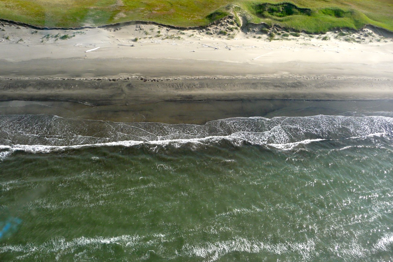
Coastal erosion is threatening archeological sites in Bering Land Bridge National Preserve. Can collaborative archeology help?
By Alix Pfennigwerth

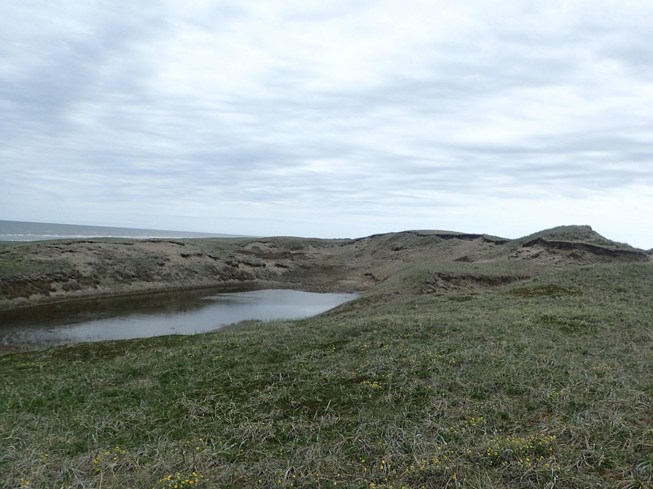
For millennia, Indigenous Iñupiaq people have lived on and around the barrier islands, beach ridges and dunes of what is now Bering Land Bridge National Preserve in Northwest Alaska. The remains of past villages, houses, activity areas, and caches have the potential to tell a vivid story of past and present life, technology, subsistence practices, and climate change.
Today, however, these sites—most of which haven’t been well studied by archeologists—are at risk of being lost. Increasing coastal erosion, driven by sea level rise and sea ice retreat, is threatening to damage or wash away the remaining structures and objects. Kawerak, the regional Alaska Native non-profit corporation for the Bering Straits Region, and the National Park Service are collaborating to assess, catalog, and learn from these sites—before it’s too late.
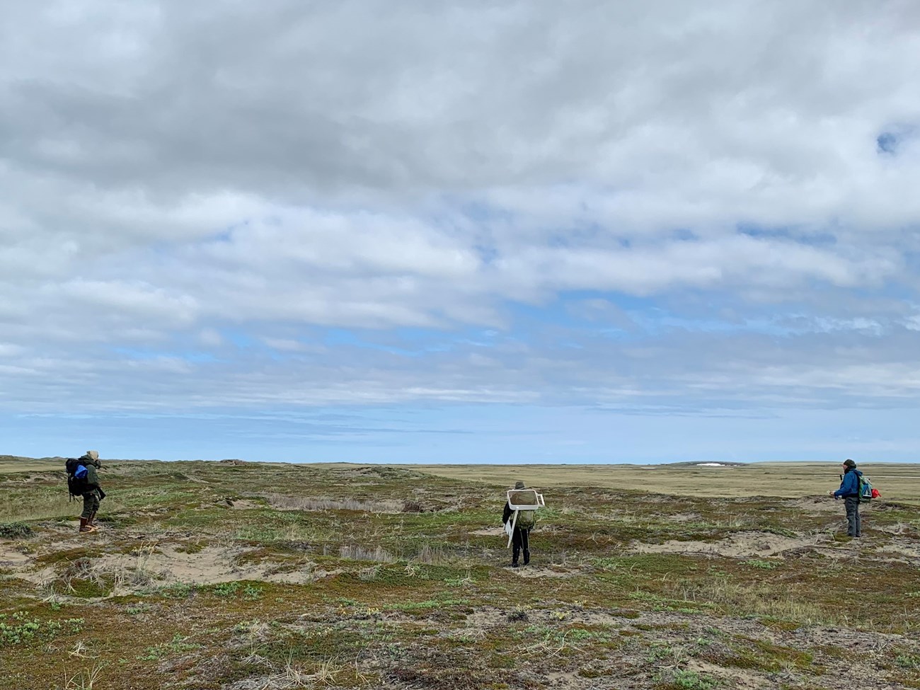
This summer, an archeological team began initial assessments of the site. Using low-impact techniques, they're seeking to better understand past lifeways of Iñupiaq families in the area while keeping the sites and objects intact. Ultimately, they will use what they learn to determine whether any of the sites are eligible for listing in the National Register of Historic Places, a status that could support future preservation efforts.

Kawerak and archeologist Justin Junge (Western Arctic National Parklands and Bering Land Bridge National Preserve) recently finalized a multi-year agreement to partner on the project and support paid internships for individuals from local Iñupiaq communities. Their goal is two-fold: to help interns build skills and knowledge through hands-on experience and training, and to facilitate reciprocal sharing of knowledge between local Iñupiaq communities and National Park Service staff.
Many Iñupiaq people residing in communities surrounding Bering Land Bridge National Preserve are direct descendants of those that lived on these lands hundreds or thousands of years ago. They have a deep knowledge of the land that has been passed down through generations: who lived there, when they lived there, and what their homes, tools, and subsistence practices were like. This generational knowledge complements and extends beyond what we can learn from contemporary archeological studies.

By working together, Junge says, everyone can help each other—and get more out of the project in the long-term.
Everyone, he says, can learn more.
This project is funded in part by a research and education grant from the Ocean Alaska Science and Learning Center.
Alix Pfennigwerth is a biologist and science communicator with the National Park Service.
