Last updated: October 19, 2021
Article
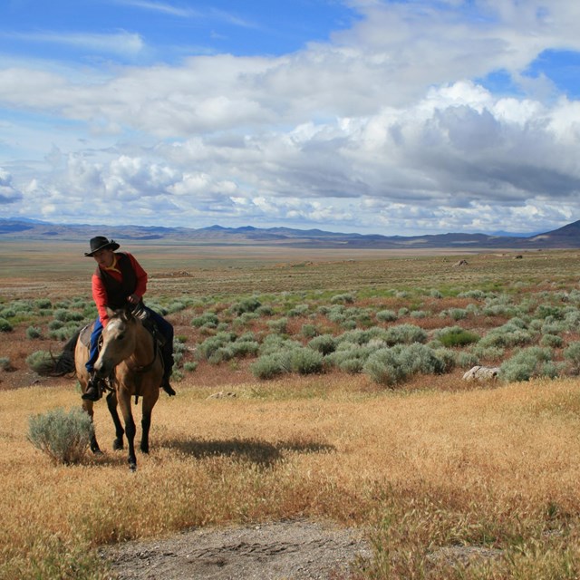
Biking the Pony Express Trail

Photo/Scott Alumbaugh
Interested in seeing and experiencing the original trail as it was back in 1860? Riding the Pony Express National Historic Trail on an off-road bicycle, such as a gravel or mountain bike, is a great way to travel back in time!
Follow along with Scott Alumbaugh as he describes his experiences and provides some tips and tricks for anyone planning this epic adventure.

Photo/Scott Alumbaugh
Why Bike?
I’ve ridden most of the trail by bike: In the summer of 2020, I drove from my house, near Sacramento, to ride the California portion in a series of day-rides and overnight trips; I also scouted sections of the trail in central Nevada by taking hub-and-spoke rides from Fallon and Austin; in early summer 2021, I bikepacked the Pony Express Trail from St. Joseph, Missouri to Salt Lake City, Utah over five weeks. On every ride I found biking to be more rewarding than if I had simply driven to any given spot.
For one thing, riding enables you to follow the trail as nearly as possible from point to point. Some sections are closed to motor vehicles; other sections are too rugged. Bikepacking the route—carrying your food and camping gear—allows you to ride the trail without dedicated support. It also allows you to ride sections that even modern horseback riders on the annual Pony Express Re-Ride have to skip.
Secondly, your speed along the trail is close to the speed of the Pony Express riders, an average of about ten miles per hour. So, for instance, instead of reaching Chimney Rock just a few minutes after seeing it from the highway, you approach this natural landmark as the riders did, over the course of an hour or more, seeing the tip first peek out from between hills, watching it disappear and reappear, growing taller each time as you twist along the dirt roads of the Overland Trail. With enough planning, a rider could even start each day’s ride from one home station and end at the next, replicating each Pony rider’s run.

Photo/Scott Alumbaugh
A third advantage of riding the trail is that it gets you out of the isolation of your car. In every town I stopped I struck up a conversation with someone asking about my ride. Often, they had some personal connection to the trail, such as a great-great-grand grandfather who was an Express rider. Other times they might offer a piece of local knowledge about the trail or the town that I would never otherwise know. When I reflect on my experiences, I find these conversations come back more vividly than the nearby landmark I had ridden there to see.

Scott Alumbaugh
What about the ride?
This is not a bike tour to be approached casually. Depending on hill climbs and weather and the condition of the trail, any day’s ride can be extremely challenging, physically and mentally. You could find yourself on a paved highway only to be buffeted by a 25-mile per hour headwind. You might have to carry your bike and gear across a stream too deep or too muddy to ride through. These challenges are compounded if you ride day after day to cover a significant portion of the trail. Additionally, long segments between Casper, Wyoming and Carson City, Nevada, are extremely remote. You could go days without seeing another person, let alone a town. Crossing the Great Basin, you need to be able and willing to practice dispersed camping—setting up your campsite on government land without a designated campsite, nor a camp host, electricity, pit toilet, and possibly without water nearby.
At the same time, some off-road sections are accessible to electric-assist mountain bikes. The trail between Pollack Pines and Echo Summit in the Sierra Nevada Mountains of California, for example, has extended sections of very rugged single-track; but there are enough hotels on nearby US 50 to stay and recharge your bike’s battery (as well as your own) for the next day’s ride.
(Make sure you check with individual sites to ensure electric bikes are permitted.)
The riding season runs from late-April to mid-October. You can ride it in sections or all at once. If you follow the Bikepacking Route—which is over 85% off-road according to Jan Bennett, the route’s creator—you should plan on six weeks or more to allow for days to rest or to avoid particularly bad weather. (I had a few unplanned layover days to avoid heat over 100º and thunderstorms.)

Photo/Creek crossing at Rock Creek Hollow, WY/Scott Alumbaugh
Trip Sections
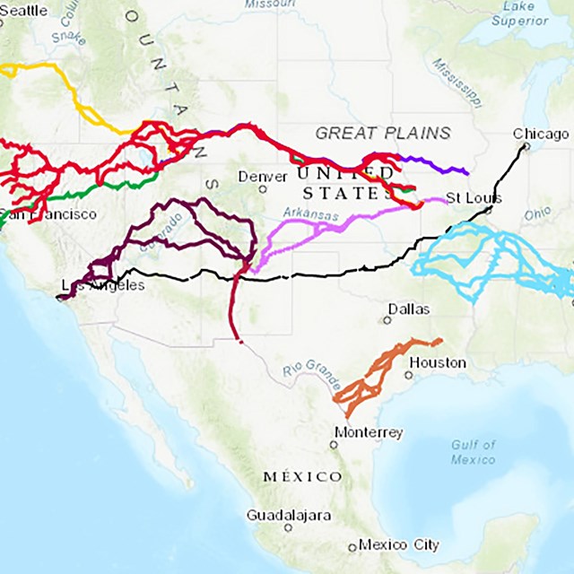
For planning purposes, I found it convenient to break the 2,000-mile route into sections:
Despite what you may think, Kansas is hilly. The trail crosses through the Glacial Hills section of east Kansas, and constantly drops and climbs back out of to creek beds etched into the bottom of ravines. Sections of the trail along the Little Blue River in Kansas and Nebraska were far more remote than I would have imagined; the few towns are very small, and many have no services. If you are riding the trail from east to west, be ready to put long days in from the start. There are no lightweight days to ease you into the ride.
Starting near the town of Lowell, Nebraska, the trail follows the Platte River Road, claimed to be the best natural road in the world by westbound emigrants of the mid-1800s. For nearly 150 miles, the trail is flat or offers small climbs into the hills to the south. Much of it is paved or well-graded gravel with light traffic. Most of the towns with services lie north of the Platte River, usually no more than a few miles off the route. This is the longest stretch of relatively easy riding on the entire Pony Express trail.
Once the trail reaches the area of O’Fallon’s Bluffs (near Sutherland, Nebraska), the trail starts to climb slowly toward South Pass (still nearly 500 miles away), and you leave the flat road behind for good. Past Sidney, Nebraska, you approach Courthouse and Jail Rocks from the south, as the emigrants did, and you enter the region of the famous overland monuments, including Chimney Rock and Scott’s Bluff.
From Casper, the trail quickly enters high desert, and you will be riding over one mile above sea level for most of the way to Salt Lake City. There are very few towns between Casper and Fort Bridger, fewer campgrounds, and even fewer services. The Wyoming wind is legendary, and no matter which direction you ride, at some point you will be riding in a fierce headwind. This is by far the most challenging and remote part of the ride between the Missouri River and Salt lake City.
There are hills all along the route, but at this point, the hills turn into mountains. Between Henefer and Salt Lake City, you have a choice of mountain bike trails or highway. I chose the highway, and getting over Big Mountain was still a long, difficult climb. This is also the first area I saw recreational cyclists who ride this stretch of highway for fun and exercise. While I was jealous of their lightweight, unladen bikes, I also knew I could get support if I needed it.
From Salt Lake City, Utah to Austin, Nevada (a distance of about 400 miles) there are no towns directly on the route. If you need to resupply, you have to make a day’s detour south to Ely or Eureka, Nevada. Though there is well and creek water available at points along the way, an unsupported rider sticking to the direct route would have to be able to carry extra water, as well as ten days to two-weeks worth of food. You’re best off on a mountain bike with very sturdy tires through this section.
The climb up the Eastern Sierra Nevada Mountains, from Carson City to Echo Summit, is steep. Once there, the route tends downhill to the end of the Pony Express Trail in Sacramento, but it is by no means all downhill riding. Some of the trail is mountain bike single-track; short sections, such as Gravelly Ford near the town of Strawberry, are even unrideable hiking trails (hike-a-bike). As you descend into the foothills, the trails become tamer, until near Folsom, where they become well-marked multi-use trails. The trail from Folsom to Sacramento is a fast ride on a gradual decline along the paved and well-maintained (and busy) American River Bike Trail, which takes you to the western terminus of the Pony Express Trail on Old Town Sacramento.

Photo/Big Mountain, UT/Scott Alumbaugh

Photo/Scott Alumbaugh
More Information about Biking the Pony Express
- Bikepacking Roots is developing a Pony Express Bikepacking Route Guide. The release of the route, the guidebook, and the final GPS data in the Spring of 2022 will be the result of over 6 years of work from Jan Bennett. Thank you Jan!
- If you have any route specific questions or would like more information, please contact the article author, Scott Alumbaugh, through: Pony Express Ride.
About the Author
Scott Alumbaugh is a writer and avid cyclist. In preparing to bikepack the Pony Express Trail, he conducted extensive research on the history of the era. He has published notes from his research, scouting trips, ride preparations, and a daily journal of his 2021 ride from St. Joseph to Salt Lake City on his website, Pony Express Ride. He lives in Davis, California with his partner, Lisa Ikemoto, and their son, Kazu.

Photo/Bass Flat, NV/Scott Alumbaugh