Last updated: May 29, 2025
Article
After the Storm: Mapping Changes in Bass Harbor Marsh

At approximately 100 acres, Bass Harbor Marsh is the largest area of salt marsh in Acadia and the surrounding region. The storms submerged the marsh with 3-4 feet of water in most areas through repeated tidal cycles. The impacts of the extended flooding and potential erosion due to storm surge and wave damage are unknown, but may have affected marsh integrity and vegetation communities.
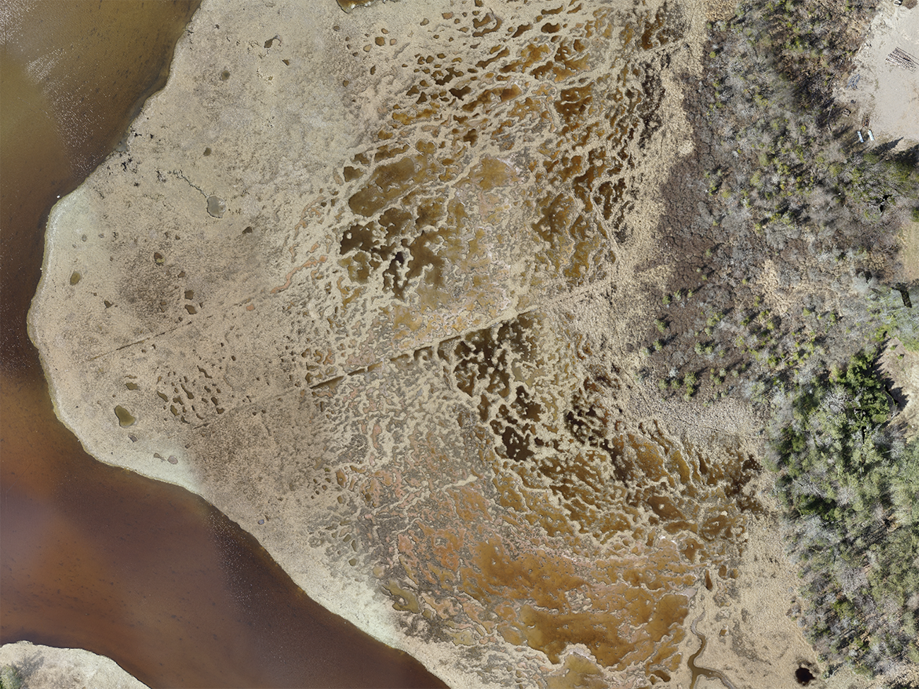
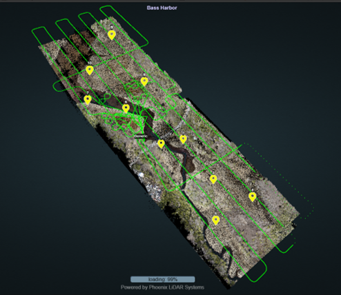
In response, the NOAA Effects of Sea Level Rise Program provided funding to the National Park Service and Nearview LLC to collect, via aerial drone or Uncrewed Aerial System (UAS), data on marsh surface elevation (lidar), and color and multispectral imagery for Bass Harbor Marsh and the adjacent treeline in Acadia National Park. The resulting maps and data are informing understanding of marsh dynamics now (post-storm) to both inform preparation for higher sea levels and storms of increasing intensity, as well as ongoing restoration activities and co-stewardship planning with Wabanaki scientists and communities, Friends of Acadia, and Schoodic Institute.
Credits:
NOAA ESLR Event Response Program, Schoodic Institute at Acadia National Park, Nearview LLC


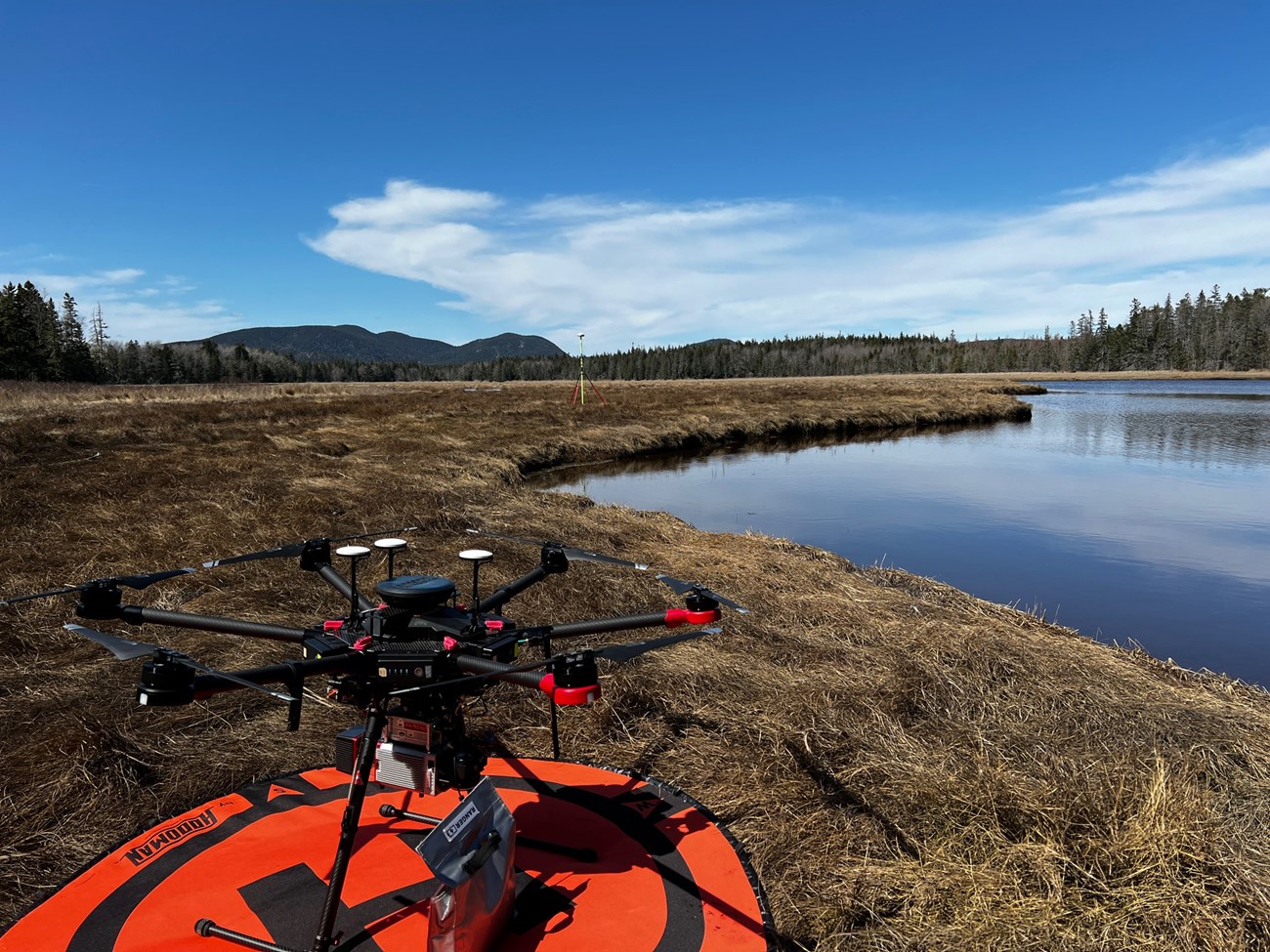
An authorized research drone parked on the ground next to open water in Bass Harbor Marsh.
